2026-02-24T00:00:00-05:00
Low pressure near Cape Hatteras, North Carolina, will strengthen into a major winter storm as it moves north along the East Coast. * WHAT...Heavy snow mainly for elevations above 3500 Feet. Total snow Total accumulations ranging from up to 3 inches in the lower elevations, to 5 to 12 inches above 3500 feet, especially in places like Beech Mountain, Mount Rogers and Flattop Mountain. Winds gusting as high as 50 mph. * WHERE...In North Carolina, Ashe and Watauga Counties. In Virginia, Grayson and Smyth Counties. * WHEN...Until midnight EST Monday Night. * IMPACTS...Roads, and especially bridges and overpasses, will likely become slick and hazardous. Visibilities may drop below 1/4 mile due to falling and blowing snow. Travel could be very difficult. The hazardous conditions could impact the Monday morning and evening commutes. Strong winds could cause tree damage. * ADDITIONAL DETAILS...Temperatures falling into the teens tonight, combined with the wind, will result in wind chills near zero late tonight and Monday.
Summary
Covering an area of approximately 5,000 acres, it is part of the Mount Rogers National Recreation Area. During the winter months, Mount Rogers receives an average snowfall of 40-50 inches, with snowpack lasting from December to March. This makes it an appealing destination for winter sports enthusiasts, including cross-country skiing and snowshoeing.
Several creeks and rivers benefit from the runoff of Mount Rogers, including the North and South Forks of the Holston River and the Virginia Highlands Horse Trail. The mountain's diverse ecosystem is home to a variety of plant and animal species, including the rare and endangered spruce-fir forests. Hikers exploring the mountain can also catch glimpses of wild ponies, a unique feature of the area.
The mountain takes its name from William Barton Rogers, a geologist who conducted extensive research in the region during the mid-1800s. Mount Rogers is also steeped in folklore and legends, including stories of lost treasure and hidden caves. However, it is important to note that these stories lack substantial evidence and should be regarded as folklore rather than historical fact. Overall, Mount Rogers offers breathtaking views, diverse ecosystems, and recreational opportunities for visitors to enjoy throughout the year.
°F
°F
mph
Wind
%
Humidity
15-Day Weather Outlook
5-Day Hourly Forecast Detail
Regional Streamflow Levels
866
Cubic Feet Per Second
665
Cubic Feet Per Second
293
Cubic Feet Per Second
2,020
Cubic Feet Per Second
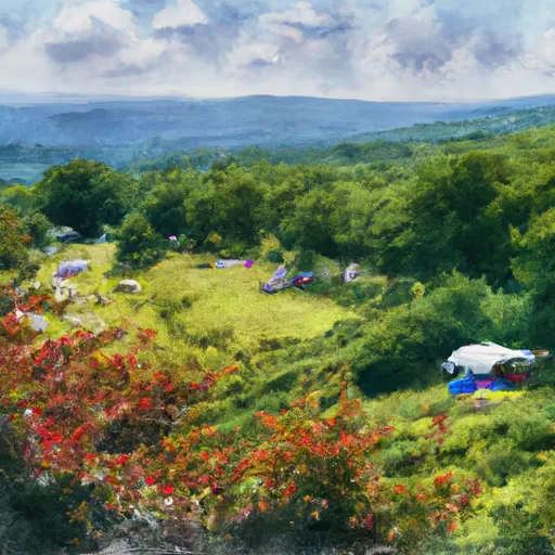
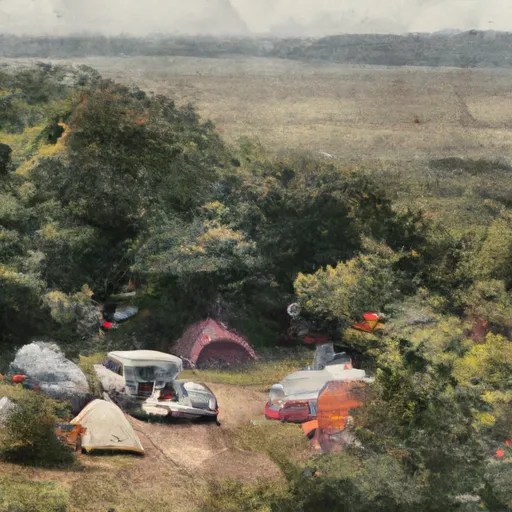
Area Campgrounds
| Location | Reservations | Toilets |
|---|---|---|
 Grindstone
|
||
 Grindstone Recreation Area
|
||
 Grayson Highlands State Park
|
||
 Hurricane
|
||
 Hurricane Campground
|
||
 Beartree Recreation Area
|
