2026-02-23T13:00:00-08:00
Snow levels will range between 3,000 to 4,000 ft. * WHAT...Snow expected. Total snow accumulations 8 to 12 inches. * WHERE...Cascades of Pierce and Lewis Counties and Cascades of Southern King County. * WHEN...From 8 PM this evening to 1 PM PST Monday. * IMPACTS...Travel could be very difficult to impossible. The hazardous conditions could impact the Monday morning commute.
Summary
With an elevation of 5,240 feet (1,597 meters), it offers a challenging yet rewarding climb for experienced mountaineers. The mountain is known for its striking rock formations, including the prominent Bandera Crest. The size of the mountain is relatively modest compared to other peaks in the Pacific Ranges.
During the winter season, Bandera Mountain receives a significant amount of snowfall. The snowpack range varies across different years, but it can reach several feet in depth, making it an ideal destination for winter sports enthusiasts. The mountain's snowpack contributes to the watershed system, which includes several creeks and rivers. The most notable one is the South Fork Snoqualmie River, which receives runoff from Bandera Mountain and its surrounding areas.
The name "Bandera" is derived from the Spanish term for "flag." The origin of the name is unclear, but some legends suggest that a group of surveyors planted a flag on the mountain during their exploration. While there may be interesting lore associated with Bandera Mountain, it is important to verify the accuracy of such stories through multiple independent sources.
°F
°F
mph
Wind
%
Humidity
15-Day Weather Outlook
5-Day Hourly Forecast Detail
Regional Streamflow Levels
1,450
Cubic Feet Per Second
169
Cubic Feet Per Second
1,210
Cubic Feet Per Second
229
Cubic Feet Per Second
Area Campgrounds
| Location | Reservations | Toilets |
|---|---|---|
 Mason Lake Backcountry Camping
|
||
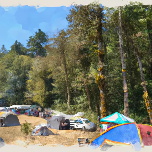 Tinkham Campground
|
||
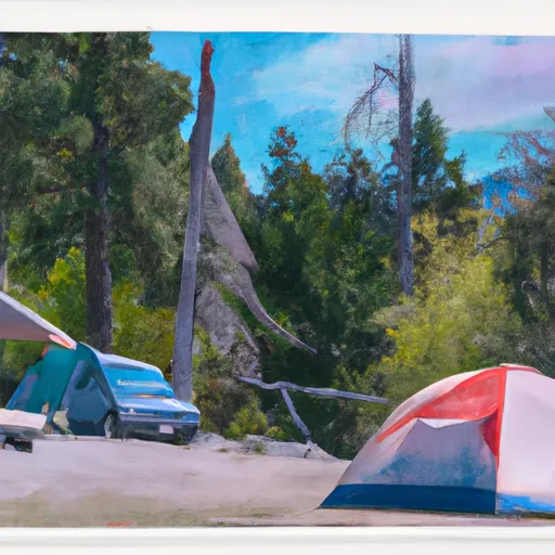 Tinkham
|
||
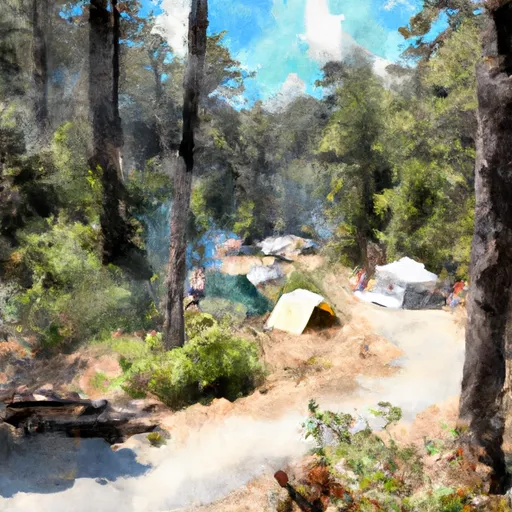 Carter Creek Campsite
|
||
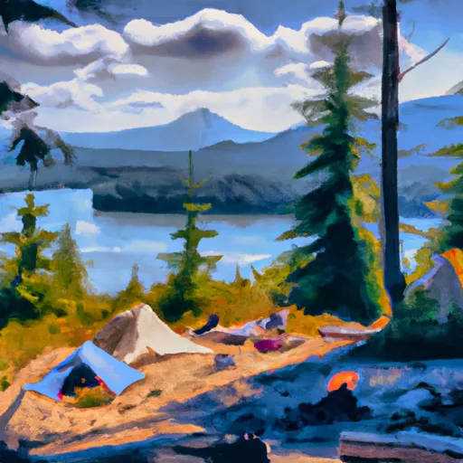 Lower Tuscohatchie Lake Backcountry Camping
|
||
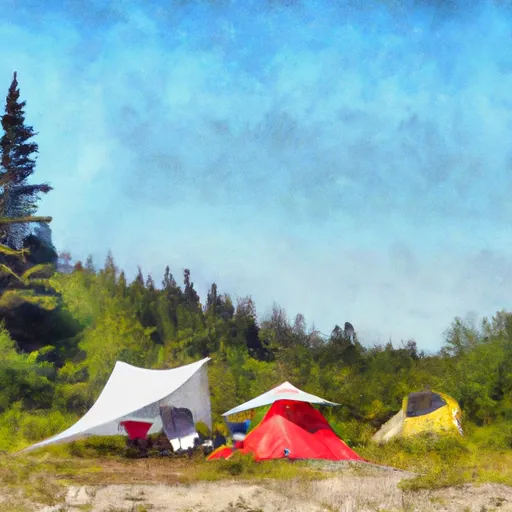 Alice Creek Campsite
|
