2026-02-23T13:00:00-08:00
Snow levels will range between 3,000 to 4,000 ft. * WHAT...Snow expected. Total snow accumulations 8 to 12 inches. * WHERE...Cascades of Snohomish and Northern King Counties and Cascades of Whatcom and Skagit Counties. * WHEN...From 8 PM this evening to 1 PM PST Monday. * IMPACTS...Travel could be very difficult to impossible. The hazardous conditions could impact the Monday morning commute.
Summary
Standing at an impressive elevation of 6,223 feet (1,897 meters), it offers a challenging climb for experienced mountaineers. With its rocky terrain and stunning views, it attracts adventurous climbers from around the region.
During the winter season, Bedal Peak is typically covered in a thick layer of snow. The snowpack range varies depending on the year, but it can accumulate several feet of snow, making it ideal for winter sports such as skiing and snowshoeing. The mountain's snowpack also contributes to the water sources in the surrounding area, with several creeks and rivers benefiting from the runoff during the spring and early summer months.
The name "Bedal Peak" holds historical significance, named after John Bedal, an early settler in the area. However, there are no specific legends or lore associated with the mountain. As with any outdoor adventure, it is essential for climbers to be well-prepared, informed about current conditions, and have the necessary skills and equipment to safely navigate Bedal Peak. It is always advisable to consult multiple independent sources for the most accurate and up-to-date information before embarking on any mountaineering expedition.
°F
°F
mph
Wind
%
Humidity
15-Day Weather Outlook
5-Day Hourly Forecast Detail
Regional Streamflow Levels
394
Cubic Feet Per Second
2
Cubic Feet Per Second
9
Cubic Feet Per Second
120
Cubic Feet Per Second
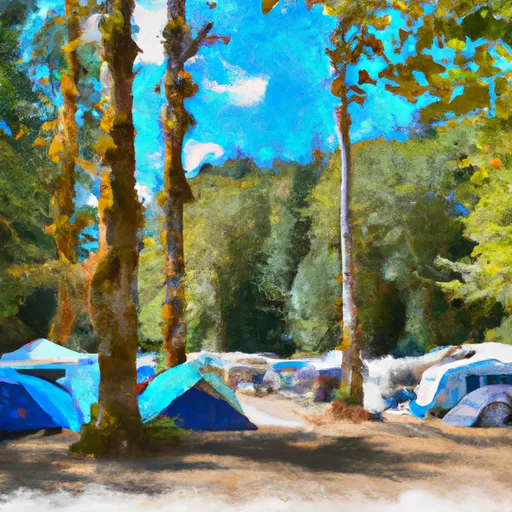
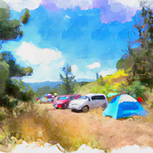
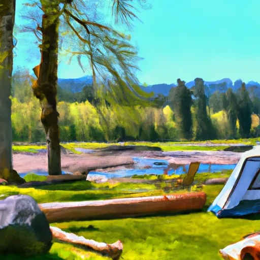
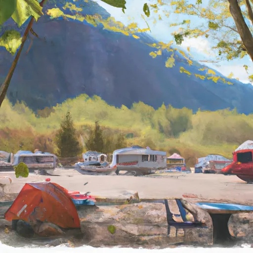
Area Campgrounds
| Location | Reservations | Toilets |
|---|---|---|
 Bedal
Bedal
|
||
 Bedal Campground
|
||
 Hops Hill Campground
|
||
 Sauk River Campground
|
||
 Twin Bridge Campground
|
||
 Red Creek
|
