2026-02-23T13:00:00-08:00
* WHAT...Snow expected. Total snow accumulations between 2 and 8 inches, including a 40 to 60% chance of 1 inch per hour snowfall rates. * WHERE...Holden Village, Stehekin, and Stevens Pass. * WHEN...From 10 PM this evening to 1 PM PST Monday. * IMPACTS...Winter travel conditions expected, including the Monday morning commute. * ADDITIONAL DETAILS...The highest probabilities for snowfall rates of 1"/hour will be from 2AM and 9AM Monday.
Summary
Standing at an impressive elevation of approximately 2,500 meters (8,200 feet), it offers breathtaking views of the surrounding landscape. This majestic mountain is known for its rugged terrain and challenging climbing routes, attracting experienced mountaineers seeking a thrilling adventure.
During the winter season, Benzarino receives a substantial amount of snowfall, creating ideal conditions for winter mountaineering and backcountry skiing. The snowpack range can vary greatly depending on the year, but it typically accumulates several meters deep, providing excellent opportunities for winter sports enthusiasts.
Benzarino is also significant for its hydrological features. The mountain's slopes feed into several creeks and rivers in the region, contributing to the freshwater supply and supporting diverse ecosystems downstream. The specific creeks and rivers that receive runoff from Benzarino may include unnamed tributaries and potentially the larger rivers in the area, such as the Bella Coola River or the Ape Lake Creek.
The name "Benzarino" does not have any significant historical or legendary background. It is important to note that the accuracy of this information should be verified through multiple independent sources, as the details may vary. Researchers and mountaineers interested in exploring Benzarino should consult reliable maps and guidebooks, as well as local authorities, for the most up-to-date and accurate information on routes, conditions, and safety guidelines.
°F
°F
mph
Wind
%
Humidity
15-Day Weather Outlook
5-Day Hourly Forecast Detail
Regional Streamflow Levels
1,250
Cubic Feet Per Second
71
Cubic Feet Per Second
280
Cubic Feet Per Second
190
Cubic Feet Per Second
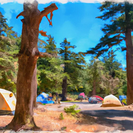
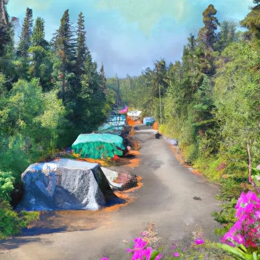
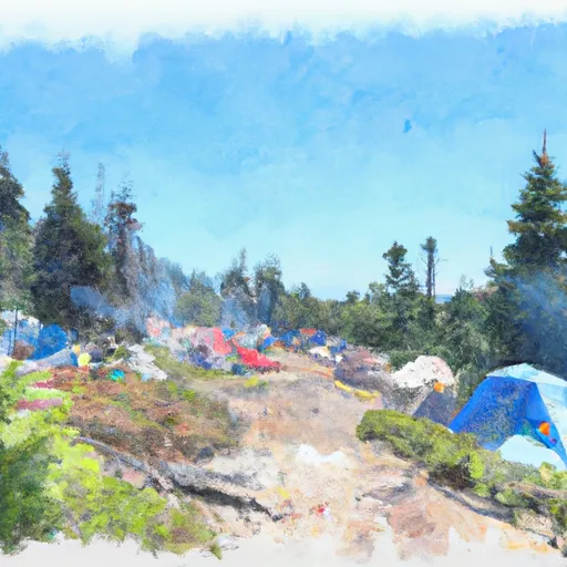
Area Campgrounds
| Location | Reservations | Toilets |
|---|---|---|
 Walker Park
|
||
 Fireweed Camps
|
||
 Dan's
Dan's
|
||
 Two Mile
|
||
 Fisher
|
||
 Heaton
|
