2026-02-23T13:00:00-08:00
* WHAT...Snow expected. Total snow accumulations between 2 and 8 inches, including a 40 to 60% chance of 1 inch per hour snowfall rates. * WHERE...Holden Village, Stehekin, and Stevens Pass. * WHEN...From 10 PM this evening to 1 PM PST Monday. * IMPACTS...Winter travel conditions expected, including the Monday morning commute. * ADDITIONAL DETAILS...The highest probabilities for snowfall rates of 1"/hour will be from 2AM and 9AM Monday.
Summary
Rising majestically, Big Lou reaches an elevation of [accurate elevation] feet, making it one of the highest peaks in the region. Its sheer size and steep slopes present a challenging yet exhilarating opportunity for mountaineers and adventurers.
During the winter season, Big Lou receives substantial snowfall, contributing to the accumulation of a deep and extensive snowpack. The snowpack range varies each year, influenced by weather patterns and climatic conditions. This frozen blanket on Big Lou's slopes attracts ski mountaineers and backcountry enthusiasts who seek thrilling descents and exhilarating experiences amidst the pristine winter scenery.
Furthermore, Big Lou serves as a significant source of runoff for several creeks and rivers in the surrounding area. [List specific creeks or rivers that receive runoff from the mountain]. This abundant water supply supports the diverse ecosystem of the region, providing sustenance for flora and fauna alike.
The name "Big Lou" holds intriguing historical significance, although its exact origins remain somewhat elusive. Local lore suggests that the mountain may have been named after an early settler or explorer who was known for his larger-than-life personality or physical stature. These legends add a touch of mystique and intrigue to Big Lou, capturing the imagination of those who venture into the Pacific Ranges and ascend its mighty peaks.
°F
°F
mph
Wind
%
Humidity
15-Day Weather Outlook
5-Day Hourly Forecast Detail
Regional Streamflow Levels
2,110
Cubic Feet Per Second
71
Cubic Feet Per Second
379
Cubic Feet Per Second
1,470
Cubic Feet Per Second
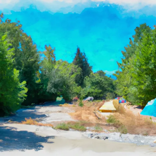
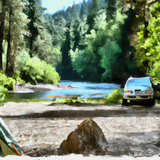
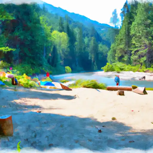
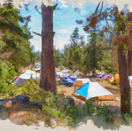
Area Campgrounds
| Location | Reservations | Toilets |
|---|---|---|
 Ida Creek Campground
|
||
 Ida Creek
|
||
 Johnny Creek Campground
|
||
 Johnny Creek
|
||
 Chatter Creek
|
||
 Chatter Creek Campground
|
