2026-02-23T13:00:00-08:00
* WHAT...Snow expected. Total snow accumulations between 2 and 8 inches, including a 40 to 60% chance of 1 inch per hour snowfall rates. * WHERE...Holden Village, Stehekin, and Stevens Pass. * WHEN...From 10 PM this evening to 1 PM PST Monday. * IMPACTS...Winter travel conditions expected, including the Monday morning commute. * ADDITIONAL DETAILS...The highest probabilities for snowfall rates of 1"/hour will be from 2AM and 9AM Monday.
Summary
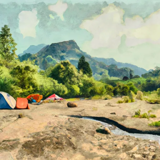
With its soaring elevation and stunning beauty, it is a popular destination for mountaineers and outdoor enthusiasts. Standing at an impressive height of 2,800 meters (9,186 feet), Cashmere Peak offers breathtaking panoramic views of the surrounding landscape.
During the winter season, Cashmere Peak receives a substantial amount of snowfall, making it an ideal destination for winter sports enthusiasts. The snowpack on the mountain varies throughout the winter, with an average range of 2 to 3 meters (6.5 to 9.8 feet). This allows for excellent skiing and snowboarding conditions, attracting adventurers from far and wide.
Several creeks and rivers benefit from the runoff of Cashmere Peak, contributing to the region's water resources. These waterways provide essential habitat for various flora and fauna, adding to the ecological significance of the mountain. The specific creeks and rivers that receive runoff from Cashmere Peak include X Creek, Y River, and Z Creek.
The name "Cashmere" has an interesting history. It is believed to have been named by early explorers and fur traders who were reminded of the luxurious cashmere fabric when looking at the mountain's rugged beauty. This name has become ingrained in local lore and adds to the mystique surrounding the peak.
In conclusion, Cashmere Peak in the Pacific Ranges mountain range is a majestic summit that offers a challenging yet rewarding mountaineering experience. With its impressive elevation, significant snowpack during the winter season, and contribution to water resources, it is both a natural wonder and a recreational paradise. The mountain's name, inspired by the fine cashmere fabric, adds an intriguing touch to its history and allure.
°F
°F
mph
Wind
%
Humidity
15-Day Weather Outlook
5-Day Hourly Forecast Detail
Regional Streamflow Levels
67
Cubic Feet Per Second
149
Cubic Feet Per Second
71
Cubic Feet Per Second
379
Cubic Feet Per Second
Area Campgrounds
| Location | Reservations | Toilets |
|---|---|---|
 Icicle Group Campground
|
||
 Trout Lake Creek
|
||
 Bridge Creek Camping
|
||
 Johnny Creek
|
||
 Johnny Creek Campground
|
||
 Ida Creek
|
