2026-02-23T13:00:00-08:00
Snow levels will range between 3,000 to 4,000 ft. * WHAT...Snow expected. Total snow accumulations 8 to 12 inches. * WHERE...Cascades of Snohomish and Northern King Counties and Cascades of Whatcom and Skagit Counties. * WHEN...From 8 PM this evening to 1 PM PST Monday. * IMPACTS...Travel could be very difficult to impossible. The hazardous conditions could impact the Monday morning commute.
Summary
It is known for its rugged terrain and breathtaking views, attracting mountaineers and outdoor enthusiasts alike. The mountain's size and prominence make it a popular destination for experienced climbers seeking a challenging ascent.
During the winter season, Davis Peak receives a substantial amount of snowfall, contributing to its reputation as a great destination for backcountry skiing and snowboarding. The snowpack range in this area can vary, but it typically accumulates between 3 to 5 meters (10 to 16 feet) deep, offering excellent opportunities for winter sports enthusiasts. The mountain's steep slopes and varied terrain provide thrilling downhill runs for those seeking an adrenaline rush.
Davis Peak also plays a role in the hydrology of the region, with several creeks and rivers benefiting from its runoff. These waterways, including unnamed creeks and the nearby Wahleach River, provide vital freshwater resources for surrounding ecosystems and communities.
As for the mountain's history and lore, there isn't much specific information available about Davis Peak. However, many mountains in the region are named after early explorers, settlers, or indigenous legends. Conducting further research may unveil interesting stories or legends associated with Davis Peak, adding to its allure as a destination for adventure seekers and history enthusiasts alike.
°F
°F
mph
Wind
%
Humidity
15-Day Weather Outlook
5-Day Hourly Forecast Detail
Regional Streamflow Levels
31
Cubic Feet Per Second
474
Cubic Feet Per Second
1,730
Cubic Feet Per Second
106
Cubic Feet Per Second
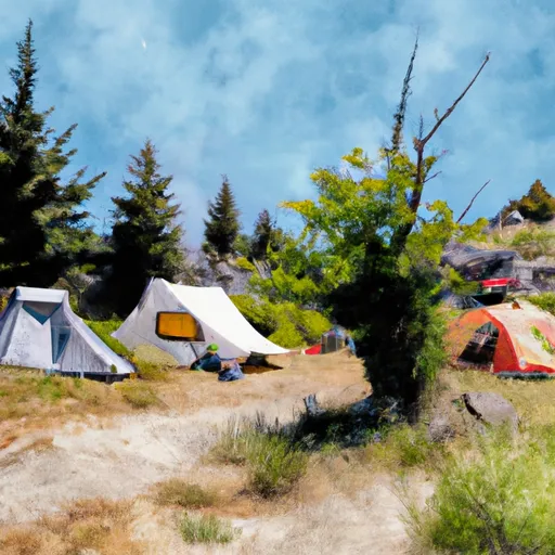
Area Campgrounds
| Location | Reservations | Toilets |
|---|---|---|
 Gorge Lake Campground
|
||
 Sourdough
|
||
 Upper Goodell Creek Group Campground
|
||
 Thunder Point
|
||
 Lower Goodell Crek Campground
|
||
 Buster Brown
|
