2026-02-23T13:00:00-08:00
Snow levels will range between 3,000 to 4,000 ft. * WHAT...Snow expected. Total snow accumulations 8 to 12 inches. * WHERE...Cascades of Snohomish and Northern King Counties and Cascades of Whatcom and Skagit Counties. * WHEN...From 8 PM this evening to 1 PM PST Monday. * IMPACTS...Travel could be very difficult to impossible. The hazardous conditions could impact the Monday morning commute.
Summary
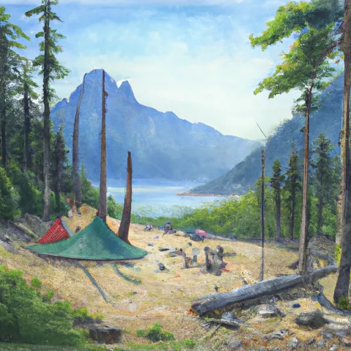
Rising to an elevation of approximately 1,478 meters (4,849 feet), it offers breathtaking panoramic views of the surrounding landscape. This mountain is known for its rugged terrain, making it a popular destination for experienced mountaineers seeking a challenging adventure.
During the winter season, Desolation Peak receives substantial snowfall, resulting in a considerable snowpack. The snowpack range can vary from year to year, but it typically accumulates from late fall to early spring, making it ideal for winter sports enthusiasts such as backcountry skiers and snowshoers.
Desolation Peak is bordered by several creeks and rivers that benefit from the mountain's runoff. These water sources include the Skookumchuck River, which flows to the southwest, and Lillooet River, which is located to the east. These rivers and creeks contribute to the overall beauty and ecological richness of the surrounding areas.
The history of the name "Desolation Peak" is rooted in the lore and legends of the indigenous people of the region. While different sources attribute various meanings to the name, it is commonly associated with the mountain's remote and desolate nature. This mountain has also gained literary significance, as it was made famous by American author Jack Kerouac, who spent a summer working as a fire lookout on Desolation Peak in 1956. Kerouac's experiences and reflections during his stay on the mountain were later documented in his novel, "Desolation Angels."
°F
°F
mph
Wind
%
Humidity
15-Day Weather Outlook
5-Day Hourly Forecast Detail
Regional Streamflow Levels
417
Cubic Feet Per Second
2,150
Cubic Feet Per Second
30
Cubic Feet Per Second
0
Cubic Feet Per Second
Area Campgrounds
| Location | Reservations | Toilets |
|---|---|---|
 Boundary Bay
|
||
 Nightmare
|
||
 Cat Island
|
||
 Lightning Creek Boat Camp
|
||
 Lightning Creek Stock Camp
|
||
 Hozomeen Lake
|
