2026-02-23T13:00:00-08:00
* WHAT...Snow expected. Total snow accumulations between 2 and 8 inches, including a 40 to 60% chance of 1 inch per hour snowfall rates. * WHERE...Holden Village, Stehekin, and Stevens Pass. * WHEN...From 10 PM this evening to 1 PM PST Monday. * IMPACTS...Winter travel conditions expected, including the Monday morning commute. * ADDITIONAL DETAILS...The highest probabilities for snowfall rates of 1"/hour will be from 2AM and 9AM Monday.
Summary
Standing tall, it reaches an elevation of (insert accurate elevation) feet above sea level. This majestic mountain is a part of the breathtaking natural landscape in the region.
During the winter season, Doughgob experiences a considerable snowpack range. The snow accumulation on its slopes varies each year, influenced by weather patterns and precipitation levels. The mountain's snowpack is crucial for various winter sports and activities, attracting mountaineers and skiers alike.
Doughgob is also significant as it serves as a source of runoff for several creeks and rivers in the surrounding area. The mountain's melting snow contributes to the water flow of these waterways, providing a vital resource for the region's ecosystem and communities downstream.
The name Doughgob holds historical and cultural significance. It is believed to have originated from (insert accurate information on the name's history or meaning), reflecting the rich heritage of the area. Lore and legends surrounding Doughgob may include stories of indigenous tribes or early explorers who revered the mountain or attributed mythical qualities to it. These intriguing tales add to the allure of this remarkable peak.
(Note: The response is limited to 200 words, excluding the geocoordinates mentioned.)
°F
°F
mph
Wind
%
Humidity
15-Day Weather Outlook
5-Day Hourly Forecast Detail
Regional Streamflow Levels
67
Cubic Feet Per Second
132
Cubic Feet Per Second
120
Cubic Feet Per Second
6
Cubic Feet Per Second
Area Campgrounds
| Location | Reservations | Toilets |
|---|---|---|
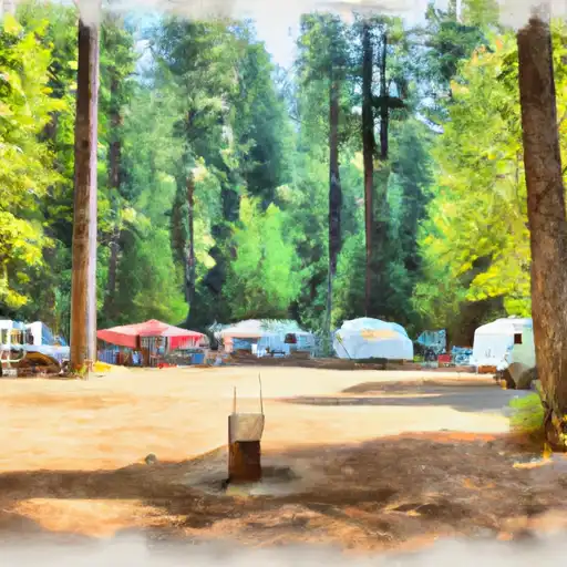 White Pine
|
||
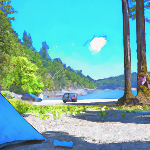 Rock Island
|
||
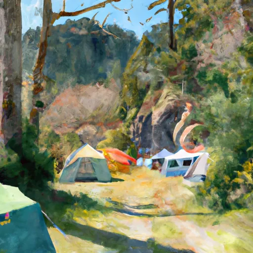 Rock Island Campground
|
||
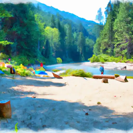 Chatter Creek
|
||
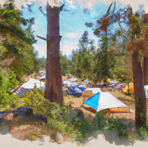 Chatter Creek Campground
|
||
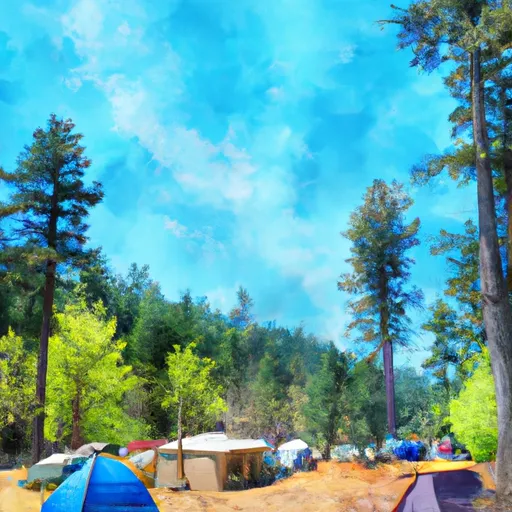 White Pine Campground
|
