2026-02-23T13:00:00-08:00
Snow levels will range between 3,000 to 4,000 ft. * WHAT...Snow expected. Total snow accumulations 8 to 12 inches. * WHERE...Cascades of Snohomish and Northern King Counties and Cascades of Whatcom and Skagit Counties. * WHEN...From 8 PM this evening to 1 PM PST Monday. * IMPACTS...Travel could be very difficult to impossible. The hazardous conditions could impact the Monday morning commute.
Summary
With an elevation of approximately 2,745 meters (9,006 feet), it stands as one of the notable peaks in the region. The mountain is characterized by its rugged terrain, featuring steep slopes and rocky cliffs that pose a challenge to mountaineers.
During the winter season, Downey Peak experiences significant snowfall, contributing to a substantial snowpack. The snowpack range can vary depending on weather conditions, but it is not uncommon for the mountain to receive several meters of snow accumulation. This makes Downey Peak an attractive destination for backcountry skiing and snowboarding enthusiasts seeking thrilling adventures.
Several creeks and rivers in the surrounding area receive runoff from Downey Peak. These include the picturesque and wildlife-rich Downton Creek, as well as the roaring Downey River. The mountain's melting snow creates a network of streams and waterfalls that contribute to the beauty of the region.
The history of the name "Downey" is not well-documented, and there is limited information available regarding any specific lore or legends associated with the mountain. However, Downey Peak, like many other peaks in the Pacific Ranges, holds cultural significance for the indigenous communities that have inhabited the region for centuries. It is always important to respect the cultural heritage and traditions of these communities when exploring the area.
°F
°F
mph
Wind
%
Humidity
15-Day Weather Outlook
5-Day Hourly Forecast Detail
Regional Streamflow Levels
6
Cubic Feet Per Second
151
Cubic Feet Per Second
127
Cubic Feet Per Second
57
Cubic Feet Per Second
Area Campgrounds
| Location | Reservations | Toilets |
|---|---|---|
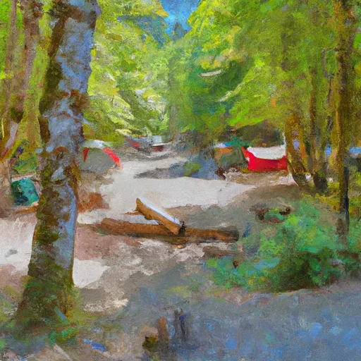 Sulphur Creek Campground
|
||
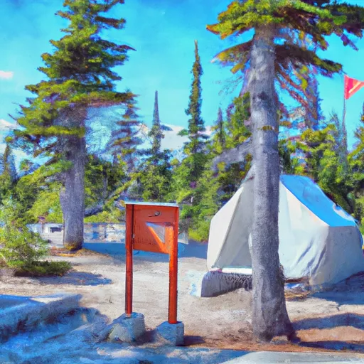 Suiattle Guard Station
|
||
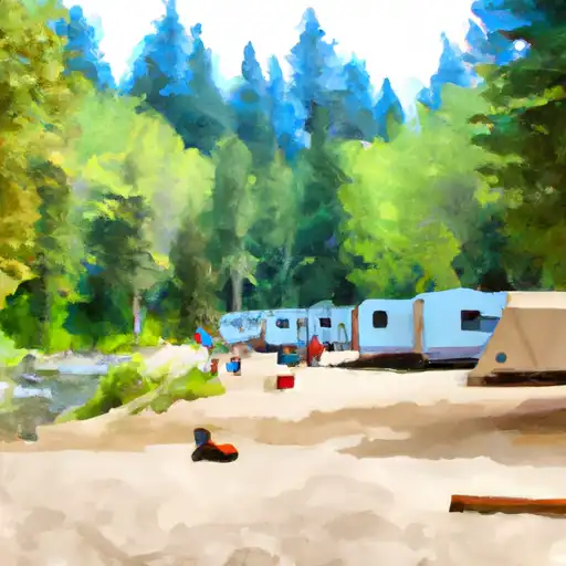 Buck Creek
|
||
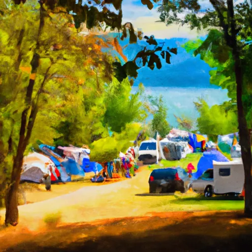 Image Lake Group Campground
|
||
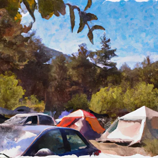 Waynes camp
|
||
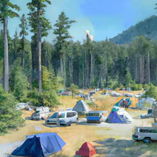 Lady camp
|
