2026-02-23T13:00:00-08:00
Snow levels will range between 3,000 to 4,000 ft. * WHAT...Snow expected. Total snow accumulations 8 to 12 inches. * WHERE...Cascades of Snohomish and Northern King Counties and Cascades of Whatcom and Skagit Counties. * WHEN...From 8 PM this evening to 1 PM PST Monday. * IMPACTS...Travel could be very difficult to impossible. The hazardous conditions could impact the Monday morning commute.
Summary
It stands at an impressive elevation of 8,868 feet (2,703 meters), offering breathtaking views and challenging terrain for mountaineers. With its distinct peak and rugged slopes, Eldorado Peak is a popular destination for outdoor enthusiasts.
During the winter season, Eldorado Peak receives significant snowfall, resulting in a substantial snowpack. The snowpack range varies each year depending on weather conditions, but it typically accumulates from November to April. Mountaineers and backcountry skiers are drawn to this area for its excellent winter sports opportunities.
Several creeks and rivers benefit from the mountain's runoff, including the Eldorado Creek and the Cascade River. These waterways are fed by the melting snow and glaciers on Eldorado Peak, contributing to the surrounding ecosystem's biodiversity and providing vital freshwater resources.
The name "Eldorado" originates from Spanish, meaning "the golden one." It is said to have been named by miners during the gold rush era, who believed that there was a hidden treasure or gold mine on the mountain. Despite these legends, no significant gold deposits have ever been found on Eldorado Peak. Nevertheless, the allure of its stunning beauty and adventurous spirit continues to draw mountaineers and outdoor enthusiasts to this captivating peak.
°F
°F
mph
Wind
%
Humidity
15-Day Weather Outlook
5-Day Hourly Forecast Detail
Regional Streamflow Levels
58
Cubic Feet Per Second
68
Cubic Feet Per Second
72
Cubic Feet Per Second
285
Cubic Feet Per Second
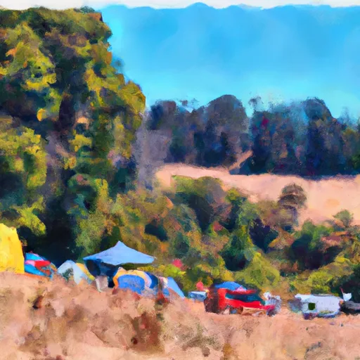
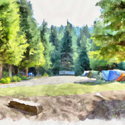
Area Campgrounds
| Location | Reservations | Toilets |
|---|---|---|
 Johannesburg Camp
|
||
 Mineral Park
|
||
 Mineral Park Campground
|
||
 Skagit Queen
|
||
 Tricouni
|
||
 Marble Creek
|
