2026-02-23T13:00:00-08:00
Snow levels will range between 3,000 to 4,000 ft. * WHAT...Snow expected. Total snow accumulations 8 to 12 inches. * WHERE...Cascades of Snohomish and Northern King Counties and Cascades of Whatcom and Skagit Counties. * WHEN...From 8 PM this evening to 1 PM PST Monday. * IMPACTS...Travel could be very difficult to impossible. The hazardous conditions could impact the Monday morning commute.
Summary
Standing tall at an elevation of approximately 2,900 meters (9,500 feet), it offers breathtaking panoramic views of the surrounding area. This mountain is a popular destination for mountaineers due to its challenging terrain and stunning alpine scenery.
During the winter season, Fortress Mountain receives a substantial amount of snowfall, resulting in a diverse snowpack range. The snowpack can vary from lighter and drier snow at higher elevations to denser and wetter snow at lower elevations. This variation provides opportunities for different winter mountain activities, such as skiing and snowboarding.
Fortress Mountain contributes to the formation of several creeks and rivers in the region due to its significant snowmelt during the warmer months. One such example is the nearby Fortress Creek, which originates from the mountain's melting snow and adds to the overall water supply of the area.
Regarding the history and legends surrounding Fortress Mountain, the name itself is derived from the perceived fortress-like appearance of the peak. The mountain has been a significant landmark for local indigenous communities, who have their own stories and cultural significance associated with it. Explorers and early settlers in the region also played a role in naming and documenting the mountain, contributing to its rich historical background.
In conclusion, Fortress Mountain in the Pacific Ranges mountain range is an impressive peak with a notable elevation and size. Its winter snowpack range attracts outdoor enthusiasts, while its snowmelt feeds various creeks and rivers in the region. The mountain holds a significant place in local history and folklore, adding to its allure.
°F
°F
mph
Wind
%
Humidity
15-Day Weather Outlook
5-Day Hourly Forecast Detail
Regional Streamflow Levels
67
Cubic Feet Per Second
2,110
Cubic Feet Per Second
11
Cubic Feet Per Second
132
Cubic Feet Per Second
Area Campgrounds
| Location | Reservations | Toilets |
|---|---|---|
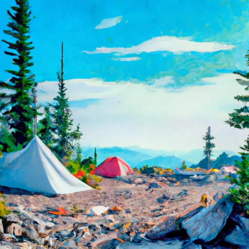 Upper Lyman Lakes
|
||
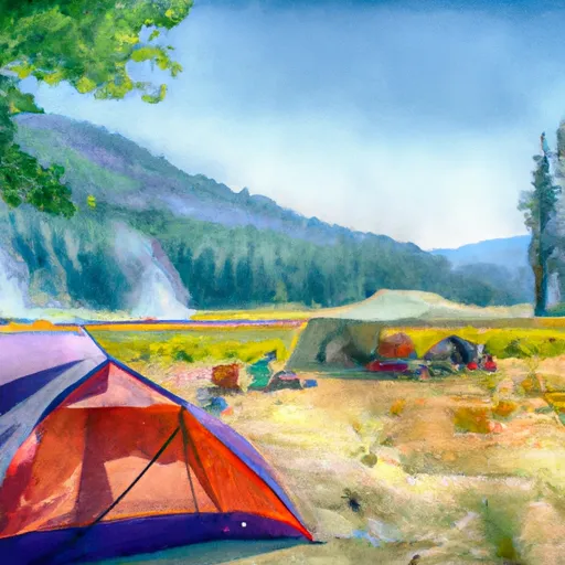 Lyman Lake Camp
|
||
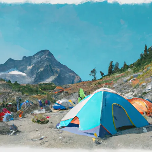 Cloudy Pass Camp
|
||
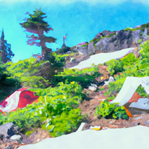 Spider Meadows
|
||
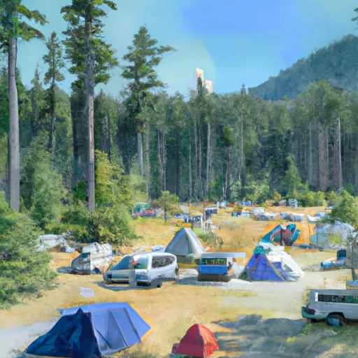 Lady camp
|
||
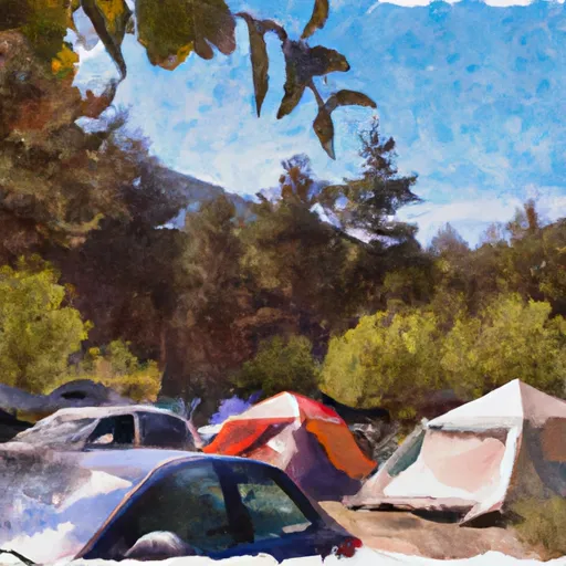 Waynes camp
|
