2026-02-23T13:00:00-08:00
Snow levels will range between 3,000 to 4,000 ft. * WHAT...Snow expected. Total snow accumulations 8 to 12 inches. * WHERE...Cascades of Snohomish and Northern King Counties and Cascades of Whatcom and Skagit Counties. * WHEN...From 8 PM this evening to 1 PM PST Monday. * IMPACTS...Travel could be very difficult to impossible. The hazardous conditions could impact the Monday morning commute.
Summary
With an elevation of approximately 2,131 meters (6,990 feet), it offers breathtaking views of the surrounding landscape. The mountain covers a considerable area, providing ample opportunities for mountaineering and other outdoor activities.
During the winter season, Green Mountain experiences a varying snowpack range. The exact snowpack depth and conditions can fluctuate depending on the weather patterns and specific winter events. As with any mountain in the region, it is essential to stay informed about current snowpack conditions and avalanche risks before venturing onto the mountain.
Green Mountain is fed by several creeks and rivers, which receive runoff from its slopes. These waterways contribute to the overall beauty of the area and provide water sources for surrounding ecosystems. Exact names and specific details about these creeks and rivers may vary, and it is recommended to consult detailed topographic maps or local resources for accurate information.
While the exact history of the name "Green Mountain" is not readily available, it is possible that the name is derived from the lush vegetation that adorns the mountain's slopes during the warmer months. The lore and legends associated with Green Mountain remain largely unknown, and further research might be necessary to uncover any specific stories or interesting tales linked to this majestic peak.
°F
°F
mph
Wind
%
Humidity
15-Day Weather Outlook
5-Day Hourly Forecast Detail
Regional Streamflow Levels
57
Cubic Feet Per Second
74
Cubic Feet Per Second
21
Cubic Feet Per Second
132
Cubic Feet Per Second
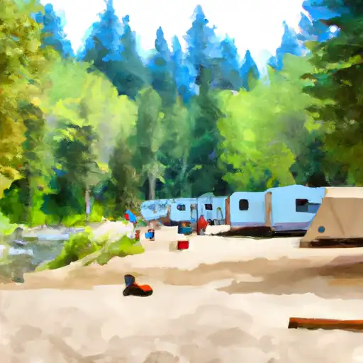
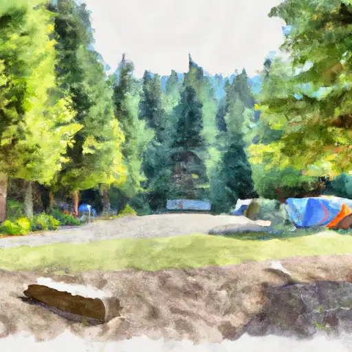
Area Campgrounds
| Location | Reservations | Toilets |
|---|---|---|
 Sulphur Creek Campground
|
||
 Suiattle Guard Station
|
||
 Buck Creek
|
||
 Image Lake Group Campground
|
||
 Mineral Park Campground
|
||
 Mineral Park
|
