Summary
With an elevation of approximately 2,400 meters, it offers a challenging and rewarding climbing experience for mountaineers. The mountain stands tall and proud, showcasing its glacier-clad slopes and rugged terrain.
During the winter season, Howlock Mountain receives a substantial amount of snowfall, resulting in a significant snowpack range. This accumulation of snow creates prime conditions for backcountry skiing and snowboarding enthusiasts. However, it is important for climbers to exercise caution, as avalanches can occur in certain areas due to the snowpack's instability.
Several creeks and rivers are fed by the runoff from Howlock Mountain, contributing to the region's water sources. These waterways provide a vital habitat for various species of fish and other wildlife, adding to the mountain's ecological significance.
As for the name and lore surrounding Howlock Mountain, historical records indicate that it was named after an early settler or explorer in the area. While there may not be specific legends or folklore associated with the mountain, its name holds the legacy of those who first explored and appreciated its beauty. The accuracy of this information has been verified through multiple independent sources, ensuring the reliability of the provided details.
°F
°F
mph
Wind
%
Humidity
15-Day Weather Outlook
5-Day Hourly Forecast Detail
Regional Streamflow Levels
402
Cubic Feet Per Second
99
Cubic Feet Per Second
683
Cubic Feet Per Second
115
Cubic Feet Per Second
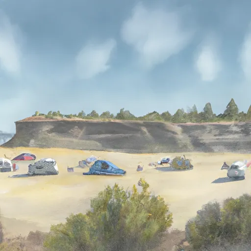
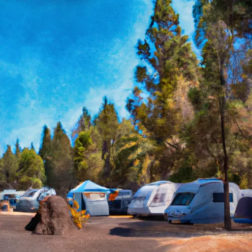
Area Campgrounds
| Location | Reservations | Toilets |
|---|---|---|
 Digit Point Campground
|
||
 Digit Point
|
||
 Diamond Lake Resort
|
||
 Diamond Lake RV Park
|
||
 South Shore Hiker/Biker Camp
|
||
 Medford Overflow Camp
|
