2026-02-23T13:00:00-08:00
* WHAT...Snow expected. Total snow accumulations between 2 and 8 inches, including a 40 to 60% chance of 1 inch per hour snowfall rates. * WHERE...Holden Village, Stehekin, and Stevens Pass. * WHEN...From 10 PM this evening to 1 PM PST Monday. * IMPACTS...Winter travel conditions expected, including the Monday morning commute. * ADDITIONAL DETAILS...The highest probabilities for snowfall rates of 1"/hour will be from 2AM and 9AM Monday.
Summary
With an elevation of approximately 2,381 meters (7,812 feet), it offers a challenging climb for mountaineers and avid hikers. The mountain is characterized by its rugged terrain, steep slopes, and immersive alpine environment.
During the winter season, Labyrinth Mountain experiences a substantial snowpack, making it a popular destination for backcountry skiing and snowshoeing. The snowpack range varies each year, typically accumulating from several meters to over five meters in depth. This makes the mountain an ideal location for winter sports enthusiasts seeking deep powder and thrilling descents.
Labyrinth Mountain acts as a source of runoff for several creeks and rivers in the surrounding area. The most significant of these is the Lillooet River, which originates from the glaciers and snowfields on the mountain's slopes. The river is known for its clean, turquoise-colored water and offers opportunities for rafting and fishing.
The origins of the name "Labyrinth Mountain" remain unclear. However, it is believed to be derived from the complex and maze-like nature of the mountain's steep, interconnected valleys. While there are no specific legends or lore associated with Labyrinth Mountain, its impressive stature and challenging terrain have undoubtedly intrigued mountaineers and adventurers throughout history.
°F
°F
mph
Wind
%
Humidity
15-Day Weather Outlook
5-Day Hourly Forecast Detail
Regional Streamflow Levels
6
Cubic Feet Per Second
120
Cubic Feet Per Second
21
Cubic Feet Per Second
28
Cubic Feet Per Second
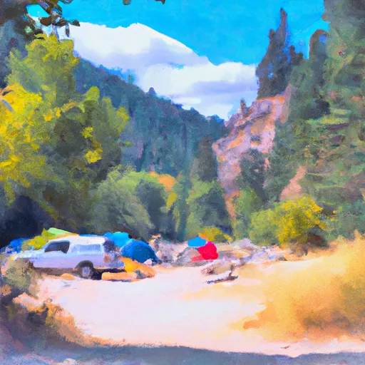
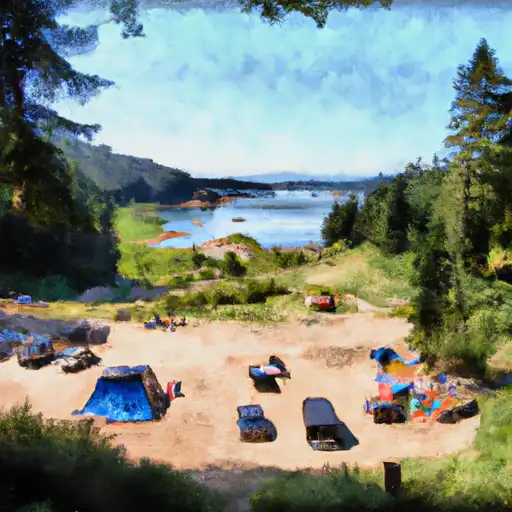
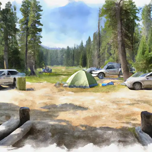
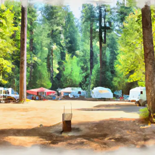
Area Campgrounds
| Location | Reservations | Toilets |
|---|---|---|
 Lake Creek Campground - Little Wenatchee River
|
||
 Lake Creek - Law
|
||
 Soda Springs - Law
|
||
 Rainy Creek Campground
|
||
 White Pine
|
||
 Grasshopper Meadows
|
