Winter Weather Advisory
2026-02-23T13:00:00-08:00
2026-02-23T13:00:00-08:00
Snow levels will range between 3,000 to 4,000 ft. * WHAT...Snow expected. Total snow accumulations 8 to 12 inches. * WHERE...Cascades of Pierce and Lewis Counties and Cascades of Southern King County. * WHEN...From 8 PM this evening to 1 PM PST Monday. * IMPACTS...Travel could be very difficult to impossible. The hazardous conditions could impact the Monday morning commute.
Summary
°F
°F
mph
Wind
%
Humidity
15-Day Weather Outlook
5-Day Hourly Forecast Detail
Regional Streamflow Levels
55
Cubic Feet Per Second
118
Cubic Feet Per Second
1,100
Cubic Feet Per Second
714
Cubic Feet Per Second
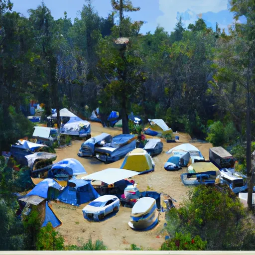
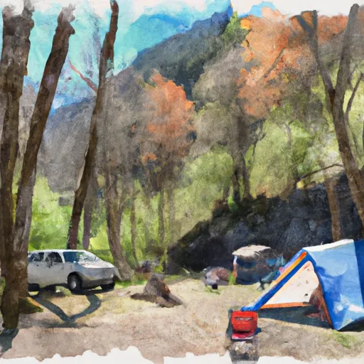
Area Campgrounds
| Location | Reservations | Toilets |
|---|---|---|
 Camp Muir
|
||
 Camp Curtis
|
||
 Camp Hazard
|
||
 Indian Bar Camp
|
||
 Granite Creek Camp
|
||
 Sunrise Camp
|
