None
ESFMFR A warm sourced atmospheric river, commonly referred to as a Pineapple Express, will likely bring periods of moderate to heavy rainfall Monday afternoon through Tuesday. Current rainfall forecasts show widespread amounts of 2 to 4 inches along the coast with locally up to 6 inches in the favored coast ranges of Curry County. Up to an inch of rain is expected for many of the inland West Side valleys, with 1 to 3 inches along the Cascades and mountains and south slopes of Siskiyou County, and between a quarter of an inch and an inch across the East Side. Compounding the hydrological concerns, the warm rain is expected with snow levels well above 7000 feet, which will result in snowmelt and therefore higher than expected runoff in area watersheds. Small streams and creeks are likely to rise rapidly during this event with nuisance flooding and ponding of water on roadways during periods of heavy rain. Significant rises on main stem rivers and flashier creeks are also expected. Given that rivers are still running fairly low for this time of year, river flooding potential is a bit lower than usual, but there is at least a low probability of some flooding, especially in the Coquille Basin, and along the more flashier streams such as Deer Creek in Roseburg and Little Butte Creek in Eagle Point. While the exact scenario for the heavy rainfall and potential flooding remains uncertain, we will continue to monitor the forecasts and update accordingly. Flood Watches may be issued by the National Weather Service if this situation worsens.
Summary
Standing at an elevation of 8,368 feet, it offers stunning panoramic views of the surrounding landscape. This mountain covers a considerable area and is a popular destination for mountaineers, hikers, and outdoor enthusiasts. It is renowned for its challenging terrain and diverse wildlife.
During the winter season, Mount Bailey receives a significant amount of snowfall, making it an ideal location for winter sports such as skiing and snowboarding. The snowpack range can vary depending on the year, but it generally accumulates between 10 to 20 feet, creating excellent conditions for winter activities. The mountain's snow-covered slopes and pristine powder attract many adventurers seeking thrilling experiences.
Several creeks and rivers benefit from the mountain's runoff, including the picturesque North Umpqua River. The pristine waters flowing from Mount Bailey contribute to the river's beauty and provide excellent habitat for various aquatic species. Exploring the river and its tributaries adds to the adventure and allure of the area.
The name "Mount Bailey" is believed to have been given by a group of early explorers, although its exact origin remains unclear. Interestingly, the mountain holds a few intriguing legends and folklore. One tale speaks of a hidden treasure buried within its rugged terrain, captivating the imagination of treasure hunters. These stories add an air of mystery and enchantment to the mountain's appeal.
In summary, Mount Bailey is a majestic peak in the Pacific Ranges mountain range, offering breathtaking views and exciting outdoor opportunities. With its impressive elevation, significant snowpack during winter, and contribution to nearby rivers, the mountain attracts adventurers seeking alpine experiences and nature enthusiasts alike. Its intriguing history and legends contribute to the allure of this remarkable mountain.
°F
°F
mph
Wind
%
Humidity
15-Day Weather Outlook
5-Day Hourly Forecast Detail
Regional Streamflow Levels
178
Cubic Feet Per Second
683
Cubic Feet Per Second
356
Cubic Feet Per Second
402
Cubic Feet Per Second
Area Campgrounds
| Location | Reservations | Toilets |
|---|---|---|
 Hemlock Butte Cabin
|
||
 Thielsen View Campground
|
||
 Thielsen View
|
||
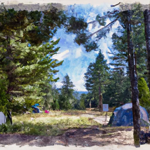 Broken Arrow Campground
|
||
 South Shore Hiker/Biker Camp
|
||
 Broken Arrow
|
