2026-02-23T13:00:00-08:00
* WHAT...Snow. Additional snow accumulations up to 14 to 20 inches above 5000 ft. Accumulations of 4 to 8 inches around the Pass Levels. * WHERE...Upper Slopes of the Eastern Washington Cascades Crest. * WHEN...Until 1 PM PST Monday. * IMPACTS...Relatively warmer road surface temperatures will limit the impacts during the daytime hours as snow can melt of the most heavily traveled highways. Periods of moderate to heavy snowfall rates will create slick roads creating very difficult driving conditions at night.
Summary
Rising to an impressive elevation, Nelson Butte stands tall among its neighboring peaks, offering breathtaking panoramic views of the surrounding landscape. This majestic mountain is a popular destination for outdoor enthusiasts looking to test their skills and endurance.
During the winter season, Nelson Butte receives a significant snowpack, making it an ideal destination for backcountry skiing and snowboarding. The snowpack range varies from year to year, with depths reaching several feet, providing ample opportunities for winter sports exploration. Additionally, the mountain's high elevation ensures that the snowpack remains well-preserved for a substantial portion of the winter season.
Nelson Butte serves as a significant source of runoff for several creeks and rivers in the surrounding area. The pristine waters flowing from its slopes contribute to the overall health and vitality of the local ecosystem. Adventurers can encounter these water bodies while traversing the mountain, adding an extra touch of natural beauty to their mountaineering experience.
As for the history and lore of Nelson Butte, its name may have originated from early explorers or settlers in the region. However, specific details regarding the mountain's nomenclature and any associated legends remain elusive. To ensure accuracy, it is important to verify information from multiple independent sources, harnessing the collective knowledge of mountaineering experts and local historians alike.
°F
°F
mph
Wind
%
Humidity
15-Day Weather Outlook
5-Day Hourly Forecast Detail
Regional Streamflow Levels
118
Cubic Feet Per Second
1,100
Cubic Feet Per Second
55
Cubic Feet Per Second
677
Cubic Feet Per Second
Area Campgrounds
| Location | Reservations | Toilets |
|---|---|---|
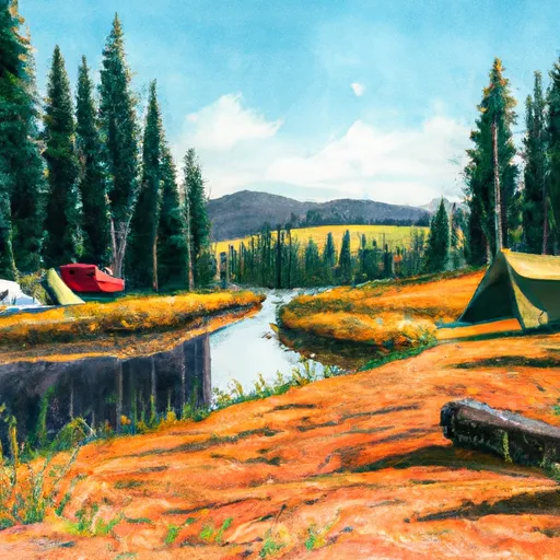 Bumping Lake
|
||
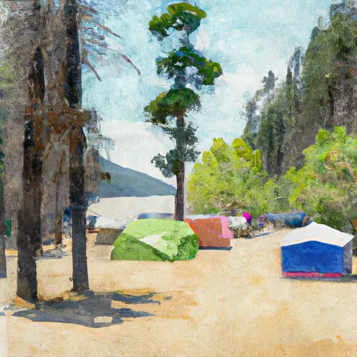 Bumping Lake Campground
|
||
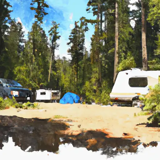 Bumping Crossing
|
||
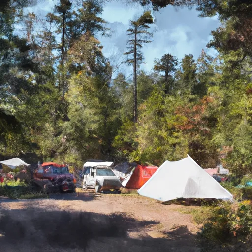 Bumping Crossing Campground
|
||
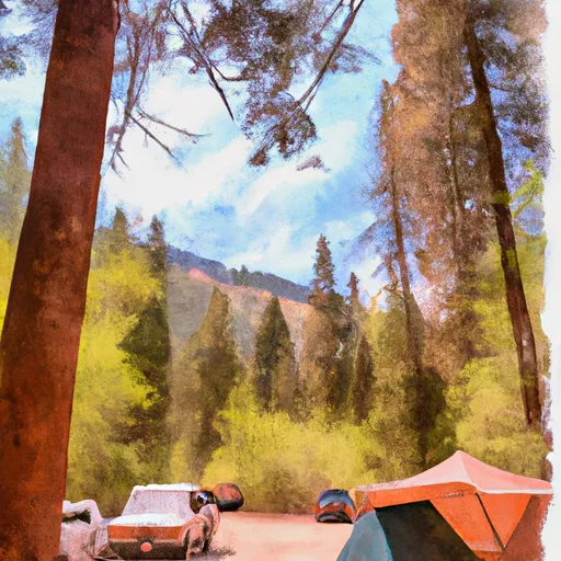 Cougar Flat Campground
|
||
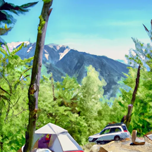 Cougar Flat
|
