2026-02-23T13:00:00-08:00
* WHAT...Snow. Additional snow accumulations up to 14 to 20 inches above 5000 ft. Accumulations of 4 to 8 inches around the Pass Levels. * WHERE...Upper Slopes of the Eastern Washington Cascades Crest. * WHEN...Until 1 PM PST Monday. * IMPACTS...Relatively warmer road surface temperatures will limit the impacts during the daytime hours as snow can melt of the most heavily traveled highways. Periods of moderate to heavy snowfall rates will create slick roads creating very difficult driving conditions at night.
Summary
Standing at an elevation of 7,930 feet, it offers breathtaking views and challenging terrain for mountaineers. The mountain is part of the Goat Rocks Wilderness, a popular destination for hikers and climbers. Its rocky slopes and alpine meadows make it an ideal spot for outdoor enthusiasts.
During the winter season, Old Snowy accumulates a substantial snowpack. Snow depths can vary, with an average range of 100-300 inches. This abundance of snow provides opportunities for winter sports like skiing and snowboarding. Additionally, it contributes to the water source for nearby creeks and rivers during the warmer months.
The mountain's runoff feeds into various waterways, including the Cispus River and the Cowlitz River. These rivers are known for their scenic beauty and offer opportunities for fishing and rafting. The Cispus River, in particular, is famous for its crystal-clear waters and vibrant wildlife.
The name "Old Snowy" is derived from the mountain's persistent snow cover throughout the year. The local Native American tribes have various legends and lore associated with the peak. Some stories speak of spiritual significance and the mountain's connection to the mystical world. Exploring these legends adds an element of enchantment to the mountaineering experience.
In conclusion, Old Snowy is a majestic mountain in the Pacific Ranges with an impressive elevation and snowpack range. Its snow-covered slopes provide recreational opportunities during winter, while its runoff contributes to the beauty of nearby creeks and rivers. The mountain's name and legends add a touch of fascination to the overall mountaineering experience.
°F
°F
mph
Wind
%
Humidity

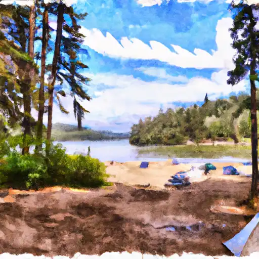 Walupt Lake
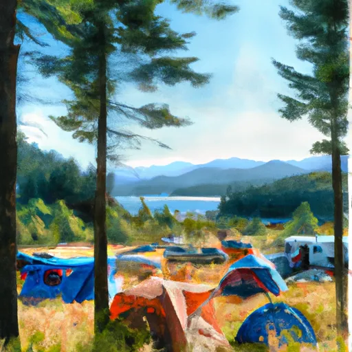 Campground: Walupt Lake
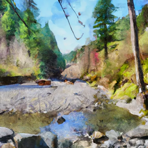 Scatter Creek - Nac Trailhead Camping
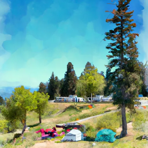 White Pass Lake (Leech Lake) Campground
 White Pass Campground
 Minnie Meadows Dispersed Camping Area