Summary
With an elevation of approximately 8,252 feet (2,515 meters), Oval Peak stands tall as a significant landmark in the region. Its sizeable massif and distinctive oval shape make it easily recognizable among other peaks in the area.
During the winter season, Oval Peak experiences a diverse range of snowpack conditions. Snow depths can vary significantly depending on the amount of precipitation received each year. The snowpack ranges from relatively shallow accumulations in lower elevations to much deeper snow at higher elevations, providing opportunities for winter sports enthusiasts and mountaineers alike.
Situated in the mountainous terrain, Oval Peak contributes to the runoff of several creeks and rivers in the surrounding region. While specific tributaries may vary, it is known that meltwater from the mountain contributes to the flow of nearby streams and rivers. These waterways play a crucial role in the ecosystem, providing habitats for various flora and fauna.
Regarding the history and folklore of Oval Peak, its name has origins rooted in the geographical shape of the mountain itself. The unique oval form of the peak has likely inspired indigenous names or stories passed down through generations. However, specific legends or lore associated with Oval Peak are not widely documented. Exploring local histories or engaging with nearby communities may reveal more intriguing tales about this remarkable mountain.
°F
°F
mph
Wind
%
Humidity
15-Day Weather Outlook
5-Day Hourly Forecast Detail
Regional Streamflow Levels
2,020
Cubic Feet Per Second
71
Cubic Feet Per Second
379
Cubic Feet Per Second
280
Cubic Feet Per Second
Area Campgrounds
| Location | Reservations | Toilets |
|---|---|---|
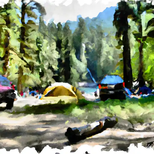 War Creek
|
||
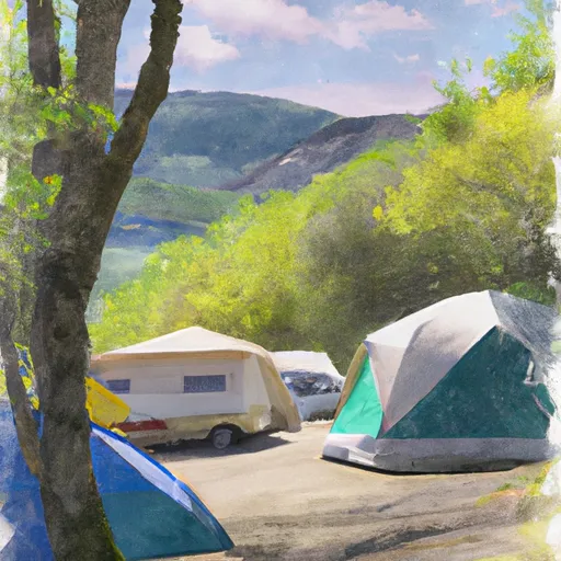 War Creek Campground
|
||
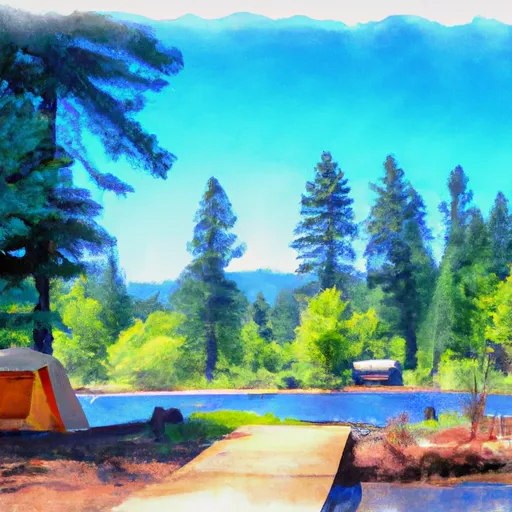 Black Pine Lake Campground
|
||
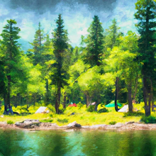 Blackpine Lake
|
||
 Juanita Lake Camp
|
||
 Juanita Lake Stock Camp
|
