2026-02-23T13:00:00-08:00
Snow levels will range between 3,000 to 4,000 ft. * WHAT...Snow expected. Total snow accumulations 8 to 12 inches. * WHERE...Cascades of Snohomish and Northern King Counties and Cascades of Whatcom and Skagit Counties. * WHEN...From 8 PM this evening to 1 PM PST Monday. * IMPACTS...Travel could be very difficult to impossible. The hazardous conditions could impact the Monday morning commute.
Summary
Standing tall at an elevation of 2,765 meters, it offers breathtaking panoramic views of the surrounding landscape. This majestic mountain is a popular destination for mountaineers and outdoor enthusiasts alike, seeking both a physical and mental challenge.
During the winter season, Ruby Mountain experiences a substantial snowpack range, creating ideal conditions for winter sports such as skiing and snowboarding. The snowpack typically accumulates from November to April, with depths varying depending on annual weather patterns. This snowy wonderland attracts adventurers who enjoy backcountry skiing and snowshoeing.
Several creeks and rivers benefit from the runoff of Ruby Mountain's melting snow. These waterways provide a vital source of freshwater for the surrounding ecosystem and local communities. It is important to note that specific creeks and rivers may vary, depending on the geographical location and proximity to the mountain.
The name "Ruby Mountain" has an intriguing history steeped in local lore. Unfortunately, it is challenging to find specific information regarding the origin or legends associated with the name. However, the name itself alludes to the mountain's unique characteristics, possibly inspired by its reddish hues during sunrise or sunset. Overall, Ruby Mountain offers an awe-inspiring mountaineering experience, showcasing the beauty of the Pacific Ranges mountain range and captivating the imaginations of those who venture to its summit.
°F
°F
mph
Wind
%
Humidity
15-Day Weather Outlook
5-Day Hourly Forecast Detail
Regional Streamflow Levels
1,730
Cubic Feet Per Second
31
Cubic Feet Per Second
291
Cubic Feet Per Second
417
Cubic Feet Per Second
Area Campgrounds
| Location | Reservations | Toilets |
|---|---|---|
 Thunder
|
||
 Neve
Neve
|
||
 Panther
|
||
 Fourth of July Pass
|
||
 Colonial Creek South Loop
|
||
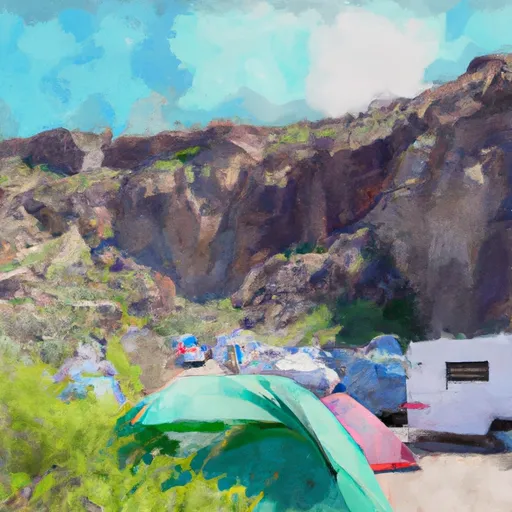
 Colonial Creek - North Cascades National Park
|
