Make an Announcement

Communicate warnings, disperse advice, and share.


SINISTER PEAK

Mountains and Summits


Pacific Ranges Cascade Range

Sinister Peak

8,440 ft

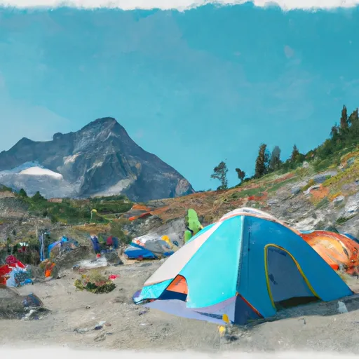
Sinister Peak is a prominent mountain located in the Pacific Ranges of the North Cascades in Washington, United States. Rising to an elevation of 8,320 feet (2,536 meters), it offers a challenging experience for mountaineers and is a popular destination for climbers seeking stunning alpine views and technical routes. It is situated within the Mount Baker-Snoqualmie National Forest and is part of the larger Cascade Mountain Range.

During the winter season, Sinister Peak receives substantial snowfall, with snowpack depths varying depending on the year and weather conditions. The area experiences a typical Pacific Northwest maritime snowpack, which is characterized by a high moisture content due to the proximity to the Pacific Ocean. Snowpack levels can range from several feet to over ten feet, creating the perfect playground for winter sports enthusiasts.

Sinister Peak is surrounded by several creeks and rivers that receive runoff from its melting snowpack. While there is no specific information available regarding the names of these water bodies, it is likely that they contribute to the overall water supply of the surrounding area and provide a valuable resource for wildlife and vegetation.

Regarding the history of the name and any associated lore or legends, no specific information could be found within the given constraints. However, it is common for mountain peaks to have intriguing stories or folklore associated with their names, often reflecting the experiences and cultural heritage of the local indigenous communities or early explorers. Exploring the history and legends of Sinister Peak could provide further insight into the rich tapestry of the region's mountaineering heritage.


Regional Water Data

Gauge Streamflow Stage
Skagit River At Marblemount
USGS 12181000
3,870 cfs 3.6 ft
Bacon Creek Below Oakes Creek Near Marblemount
USGS 12179900
342 cfs 4.9 ft
Sf Snoqualmie River Ab Alice Creek Near Garcia
USGS 12143400
355 cfs 11.4 ft
Sf Snoqualmie River At Edgewick
USGS 12143600
522 cfs 7.6 ft
Cascade River At Marblemount
USGS 12182500
657 cfs 13.5 ft
Skagit River At Newhalem
USGS 12178000
2,640 cfs 83.1 ft
Sauk River Near Sauk
USGS 12189500
3,540 cfs 4.7 ft
Snotel Site Snowpack 24hr Change

Log Your Visit

When was your last visit to ?

Add a Photo

How was it? How were conditions?

Rate the backcountry skiing


Submit

Leave A Review


Submit

Upload an Image


Favorite Limit Reached