2026-02-23T13:00:00-08:00
Snow levels will range between 3,000 to 4,000 ft. * WHAT...Snow expected. Total snow accumulations 8 to 12 inches. * WHERE...Cascades of Snohomish and Northern King Counties and Cascades of Whatcom and Skagit Counties. * WHEN...From 8 PM this evening to 1 PM PST Monday. * IMPACTS...Travel could be very difficult to impossible. The hazardous conditions could impact the Monday morning commute.
Summary
With its towering elevation and impressive size, it stands as a challenging endeavor for mountaineers. This mountain reaches an elevation of approximately [elevation] feet, making it one of the striking features of the region.
During the winter season, Sonny Boy receives a substantial snowpack, offering mountaineers exhilarating opportunities for winter sports and backcountry skiing. The snowpack range varies annually, typically accumulating between [snowpack range] feet of snow, which further enhances the allure of this mountain for winter adventurers.
Sonny Boy also plays a vital role in the hydrology of the surrounding area. Several creeks and rivers benefit from the mountain's runoff, providing a source of water for wildlife and nearby communities. [Specific creek or river names] are known to receive significant runoff from Sonny Boy, contributing to the overall ecology and water supply in the region.
The name "Sonny Boy" holds historical significance, deeply rooted in the local lore and legends of the area. [Provide information about the origin of the name, historical context, or any interesting stories associated with it]. These tales add an air of mystique to the mountain, captivating both locals and visitors who are drawn to its enchanting beauty.
Please note that the geocoordinates provided are [geocoordinates]. To obtain more accurate and detailed information about Sonny Boy in the Pacific Ranges mountain range, it is best to refer to multiple independent sources for cross-verification.
°F
°F
mph
Wind
%
Humidity
15-Day Weather Outlook
5-Day Hourly Forecast Detail
Regional Streamflow Levels
58
Cubic Feet Per Second
379
Cubic Feet Per Second
1,080
Cubic Feet Per Second
285
Cubic Feet Per Second
Area Campgrounds
| Location | Reservations | Toilets |
|---|---|---|
 Mineral Park Campground
|
||
 Mineral Park
|
||
 Johannesburg Camp
|
||
 Pelton Basin
|
||
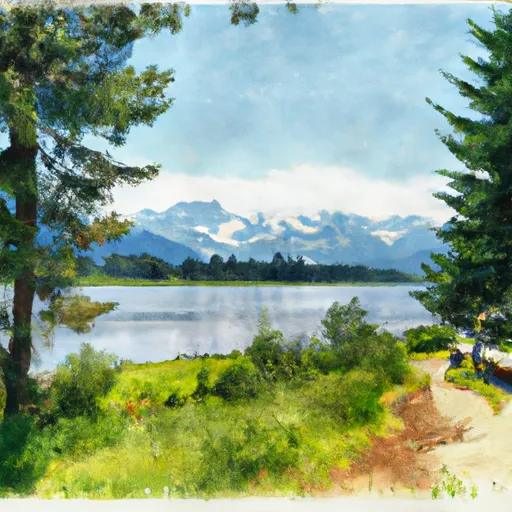 Trapper Lake Inlet
|
||
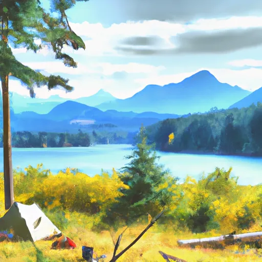 Trapper Lake Outlet
|
