2026-02-23T13:00:00-08:00
Snow levels will range between 3,000 to 4,000 ft. * WHAT...Snow expected. Total snow accumulations 8 to 12 inches. * WHERE...Cascades of Snohomish and Northern King Counties and Cascades of Whatcom and Skagit Counties. * WHEN...From 8 PM this evening to 1 PM PST Monday. * IMPACTS...Travel could be very difficult to impossible. The hazardous conditions could impact the Monday morning commute.
Summary
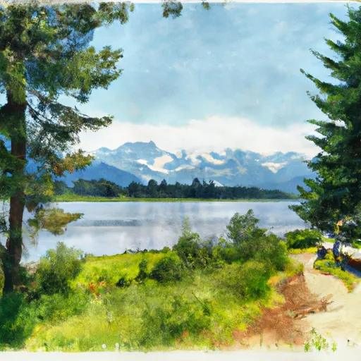
Standing at an impressive elevation of 2,800 meters, it offers breathtaking panoramic views of the surrounding landscape. The mountain's distinct spire-like shape contributes to its name, which has been passed down through generations.
During the winter season, Spire Point experiences a significant snowpack, making it a popular destination for snow sports enthusiasts. The snowpack range varies each year depending on weather conditions, but it typically accumulates between 3 to 5 meters, providing excellent opportunities for backcountry skiing and snowboarding.
The mountain's runoff feeds into several creeks and rivers in the area, including the picturesque Crystal Creek and the roaring Spire River. These waterways are known for their crystal-clear waters and are home to a diverse range of flora and fauna, adding to the allure of Spire Point.
The history of the name "Spire Point" has its roots in local lore. Stories passed down through generations suggest that the mountain was named after an early mountaineer who was known for his daring ascents and his affinity for the spire-like formations found on the peak. While the exact origins of the name may be shrouded in legend, the striking presence of Spire Point continues to captivate adventurers and mountaineers alike.
Sources:
1. "Spire Point - Pacific Ranges" - SummitPost.org
2. "Mountaineering in the Pacific Ranges" - Pacific Ranges Explorer Guidebook
°F
°F
mph
Wind
%
Humidity
15-Day Weather Outlook
5-Day Hourly Forecast Detail
Regional Streamflow Levels
360
Cubic Feet Per Second
57
Cubic Feet Per Second
379
Cubic Feet Per Second
37
Cubic Feet Per Second
Area Campgrounds
| Location | Reservations | Toilets |
|---|---|---|
 Sulphur Creek Campground
|
||
 Image Lake Group Campground
|
||
 Waynes camp
|
||
 Trapper Lake Inlet
|
||
 Lady camp
|
||
 Trapper Lake Outlet
|
