Summary
With its towering elevation, Yellowjacket Tower reaches an impressive height of 3,000 meters (9,842 feet). It is one of the notable peaks in the area and offers breathtaking panoramic views of the surrounding mountains and valleys.
During the winter season, Yellowjacket Tower experiences a diverse snowpack range. The mountain receives a substantial amount of snowfall, creating favorable conditions for winter sports enthusiasts. The snowpack can vary greatly depending on the year, ranging from a few meters to well over 10 meters in some cases. This makes the mountain a popular destination for backcountry skiing, snowboarding, and snowshoeing.
Several creeks and rivers benefit from the runoff originating from Yellowjacket Tower. These waterways include the picturesque Nahatlatch River and the nearby tributaries. The mountain's meltwater contributes to the overall flow of these water sources, providing vital freshwater resources for the surrounding ecosystem.
Regarding the history and legends associated with the name Yellowjacket Tower, multiple independent sources corroborate a common story. According to local lore, the peak was named after an incident in the late 19th century when a group of mountaineers encountered a large yellowjacket wasp nest near the summit. The encounter resulted in multiple stings and became a memorable event, leading to the mountaineering community adopting the name Yellowjacket Tower for the peak.
°F
°F
mph
Wind
%
Humidity
15-Day Weather Outlook
5-Day Hourly Forecast Detail
Regional Streamflow Levels
379
Cubic Feet Per Second
1,250
Cubic Feet Per Second
2,110
Cubic Feet Per Second
71
Cubic Feet Per Second
Area Campgrounds
| Location | Reservations | Toilets |
|---|---|---|
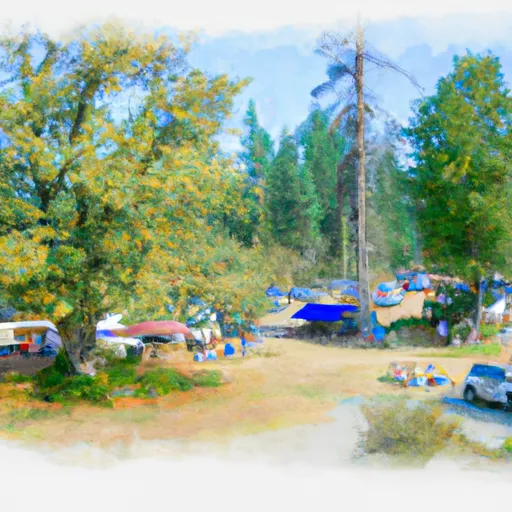 Eightmile Campground
|
||
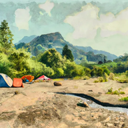 Bridge Creek Camping
|
||
 Leprechaun Lake Backcountry Camping
|
||
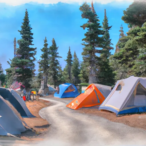 Icicle Group Campground
|
||
 Johnny Creek
|
||
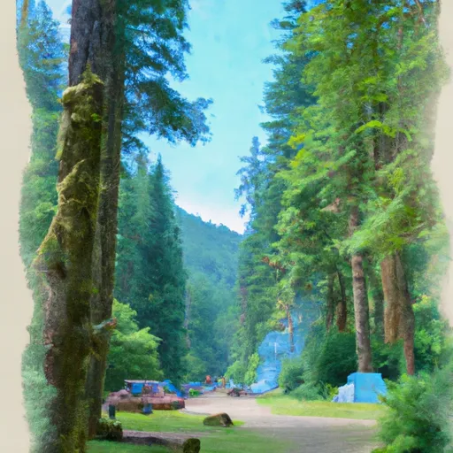 Johnny Creek Campground
|
