2026-02-23T19:00:00-05:00
* WHAT...Blizzard conditions. Additional snow accumulations between 7 and 14 inches. Total snow accumulations 10 to 20 inches. Winds gusting as high as 40 to 50 mph. * WHERE...Litchfield County in northwestern Connecticut and Dutchess and Ulster Counties in eastern New York. * WHEN...Until 7 PM EST this evening. * IMPACTS...Travel will be difficult to impossible. The dangerous conditions will impact the morning and evening commutes. Gusty winds could bring down tree limbs and power lines in addition to causing blowing and drifting snowfall. Visibility will drop as low as 1/4 mile. * ADDITIONAL DETAILS...A powerful nor'easter will impact the region today. The higher snowfall amounts will be favored across the higher elevations and far southern parts of the counties. Snowfall rates may reach 1 to 2 inches per hour at times this morning.
Summary
Standing at a towering height of 4,180 feet, it is the highest peak in the Catskill Mountains of New York State. This majestic mountain offers breathtaking panoramic views and is a popular destination for avid hikers and outdoor enthusiasts.
During the winter season, Slide Mountain experiences a varying snowpack range. The amount of snowfall can fluctuate based on weather patterns, but on average, the mountain receives around 60 to 100 inches of snow throughout the winter months. This makes it an appealing destination for winter sports such as snowshoeing and cross-country skiing.
Slide Mountain is also known for its numerous creeks and rivers that receive runoff from its slopes. One of the notable waterways is the Neversink River, which originates from the mountain's southern side. This river provides a scenic backdrop and serves as a source of freshwater for surrounding communities.
As for its name, Slide Mountain gets its moniker from a unique geological feature known as the "Slide," which is a massive landslide that occurred on its eastern face. This event, which took place during the Ice Age, resulted in a large exposed bedrock area that is visible to this day. Slide Mountain is also steeped in interesting lore and legends, including tales of mysterious disappearances and encounters with supernatural beings, adding to its allure and intrigue.
In conclusion, Slide Mountain offers an awe-inspiring mountaineering experience. With its impressive elevation, varying snowpack range during winter, and the presence of creeks and rivers, it provides both natural beauty and recreational opportunities. Its name and legends further enhance its mystique, making it a must-visit destination for outdoor enthusiasts and those seeking adventure in the Appalachian Mountains.
°F
°F
mph
Wind
%
Humidity
15-Day Weather Outlook
5-Day Hourly Forecast Detail
Regional Streamflow Levels
17
Cubic Feet Per Second
1,300
Cubic Feet Per Second
2,300
Cubic Feet Per Second
20
Cubic Feet Per Second
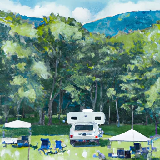
Area Campgrounds
| Location | Reservations | Toilets |
|---|---|---|
 Primitive Campsite
|
||
 Woodland Valley - DEC
|
||
 Cold Spring Lodge
|
||
 Kenneth L. Wilson - DEC
|
