Summary
Standing at an elevation of 8,997 feet (2,742 meters), it is a prominent peak in the region. The mountain is named after Frederick Russell Burnham, a renowned American scout and adventurer who played a significant role in the early exploration of this area.
Mount Burnham is a popular destination for mountaineers and hikers, offering breathtaking views of the surrounding landscape. Its relatively moderate elevation makes it accessible to a wide range of outdoor enthusiasts. During the winter season, the mountain experiences a snowpack, with depths varying depending on weather conditions. Snow levels can range from a few inches to several feet, providing opportunities for snowshoeing, skiing, and other winter activities.
The mountain is also notable for its runoff, which feeds into several creeks and rivers in the region. One such creek is the South Fork Big Rock Creek, which runs along the southern slopes of Mount Burnham. This water source contributes to the overall ecosystem and provides vital sustenance for various flora and fauna in the area.
While there are no specific legends or lore associated with Mount Burnham, its name pays homage to Frederick Russell Burnham and his contributions to exploration and adventure. As with any mountaineering endeavor, it is essential to rely on multiple independent sources to ensure accuracy and up-to-date information about Mount Burnham's metrics and characteristics.
°F
°F
mph
Wind
%
Humidity
15-Day Weather Outlook
5-Day Hourly Forecast Detail
Regional Streamflow Levels
0
Cubic Feet Per Second
159
Cubic Feet Per Second
0
Cubic Feet Per Second
101
Cubic Feet Per Second
Area Campgrounds
| Location | Reservations | Toilets |
|---|---|---|
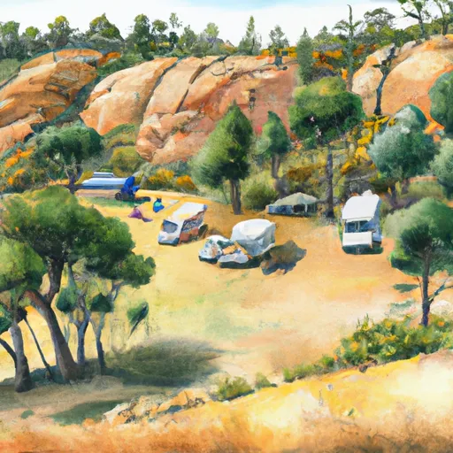 Big Rock Campground
|
||
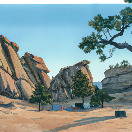 Big Rock
|
||
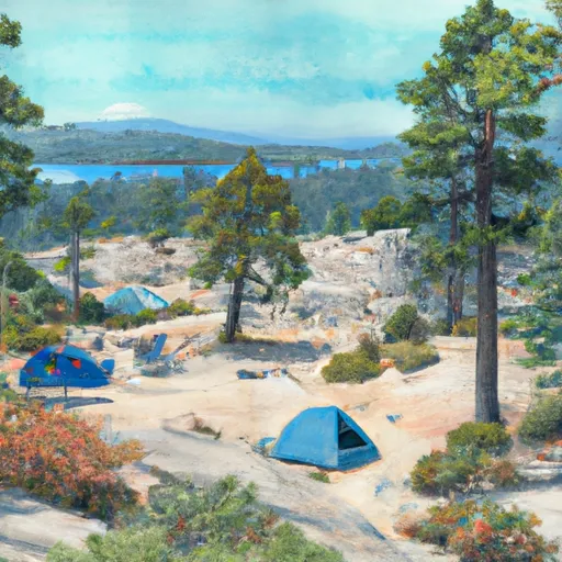 Little Jimmy
|
||
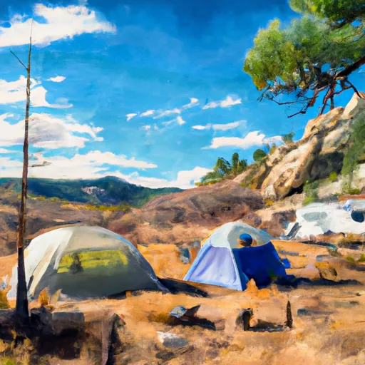 Little Jimmy Campground
|
||
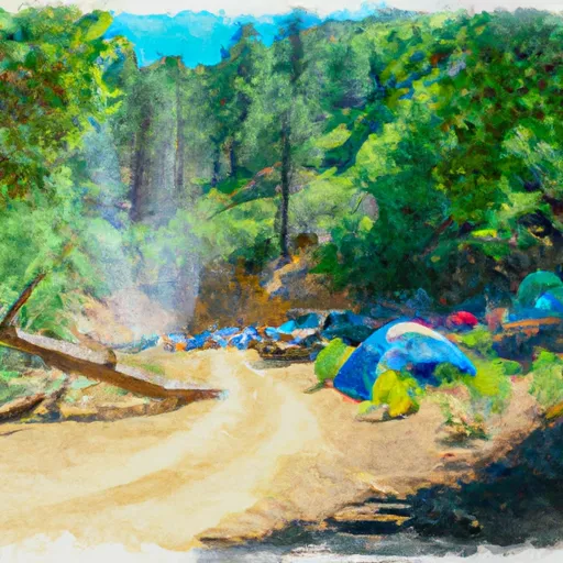 Jackson Flat Group Campground
|
||
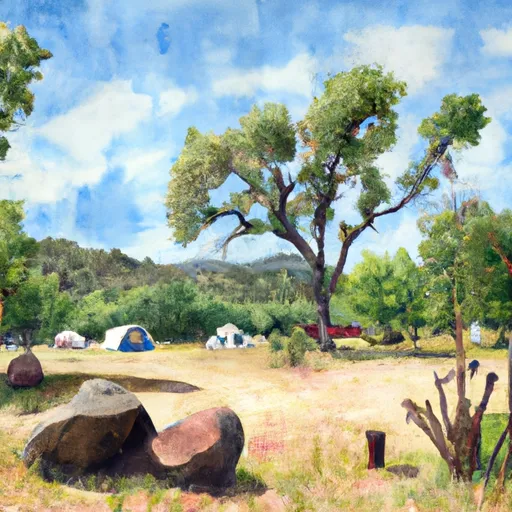 Jackson Flat Campground
|
