Summary
Standing at an elevation of 8,250 feet, it offers breathtaking views of the surrounding San Gabriel Mountains. Spanning over 3,000 acres, Mount Islip is a popular destination for hikers, mountaineers, and nature enthusiasts.
During the winter season, Mount Islip receives a substantial amount of snowfall, transforming it into a winter wonderland. Snowpack depths can vary widely, ranging from a few inches to several feet depending on the severity of the winter storms. This makes it an ideal location for winter sports such as snowshoeing and backcountry skiing.
Several creeks and rivers are fed by the runoff from Mount Islip. These include Little Jimmy Creek, Crystal Lake Creek, and South Fork Big Rock Creek. These water sources provide vital resources for the surrounding ecosystems and contribute to the overall biodiversity of the area.
The name "Islip" is believed to have originated from the early Spanish settlers who named the mountain after the town of Islip in Suffolk, England. The mountain holds a rich history, including Native American settlements and the exploration efforts of early European settlers.
In conclusion, Mount Islip in the Pacific Ranges mountain range is a majestic peak with an elevation of 8,250 feet. It offers diverse recreational opportunities throughout the year, including winter sports due to its substantial snowpack range. With its numerous creeks and rivers, it plays a significant role in the local ecosystem. The name holds historical significance and reflects the early Spanish influence in the region.
°F
°F
mph
Wind
%
Humidity
15-Day Weather Outlook
5-Day Hourly Forecast Detail
Regional Streamflow Levels
101
Cubic Feet Per Second
0
Cubic Feet Per Second
0
Cubic Feet Per Second
0
Cubic Feet Per Second
Area Campgrounds
| Location | Reservations | Toilets |
|---|---|---|
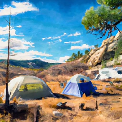 Little Jimmy Campground
|
||
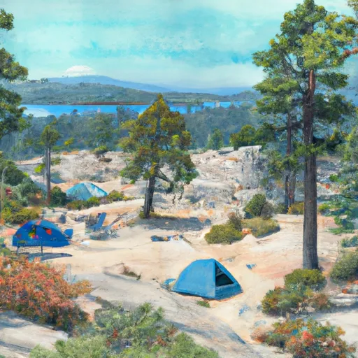 Little Jimmy
|
||
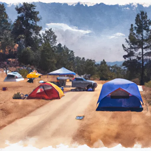 Deer Flat Group Campground
|
||
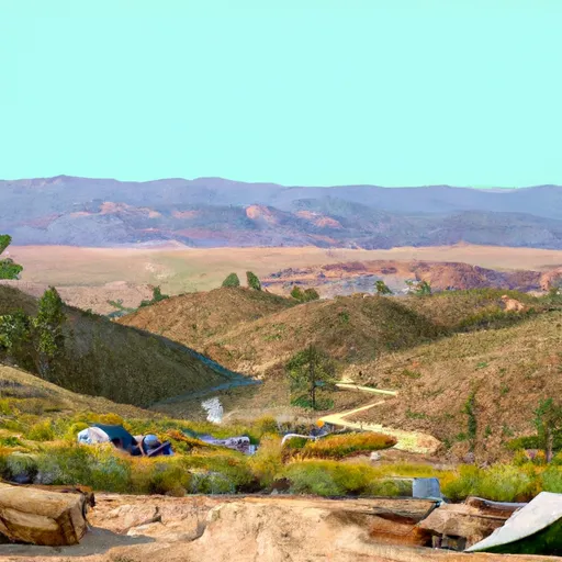 Deer Spring
|
||
 Crystal Lake Rec Area Campground
|
||
 Crystal Lake Rec Area
|
