Summary
With an elevation of approximately 8,696 feet (2,651 meters), it offers breathtaking panoramic views of the surrounding San Gabriel Mountains. This majestic peak is a popular destination for mountaineers and hikers alike, attracting outdoor enthusiasts year-round.
During the winter season, Ontario Peak experiences a significant snowpack. Snow levels can vary depending on the year, but typically range from 2 to 5 feet in depth. This makes it an ideal destination for winter sports enthusiasts, such as snowshoeing and backcountry skiing.
Several creeks and rivers in the area benefit from the runoff of Ontario Peak. The North Fork Lytle Creek, Cucamonga Creek, and Middle Fork Lytle Creek all receive water from the melting snow and ice of the peak. These water sources contribute to the ecological diversity of the region and provide crucial habitats for various plant and animal species.
The name "Ontario" is said to have been derived from a Native American word meaning "beautiful water" or "sparkling water." It is believed that the name was given due to the pristine creeks and rivers that flow from the mountain. Additionally, the surrounding area is rich in lore and legends related to the indigenous tribes that once inhabited the region. Exploring the history and folklore surrounding Ontario Peak adds an extra layer of intrigue to this already captivating mountain.
°F
°F
mph
Wind
%
Humidity
15-Day Weather Outlook
5-Day Hourly Forecast Detail
Regional Streamflow Levels
52
Cubic Feet Per Second
81
Cubic Feet Per Second
0
Cubic Feet Per Second
159
Cubic Feet Per Second
Area Campgrounds
| Location | Reservations | Toilets |
|---|---|---|
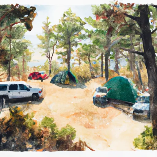 Kelly Camp
|
||
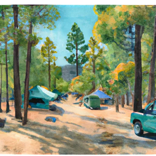 Cedar Glen Campground
|
||
 Manker
|
||
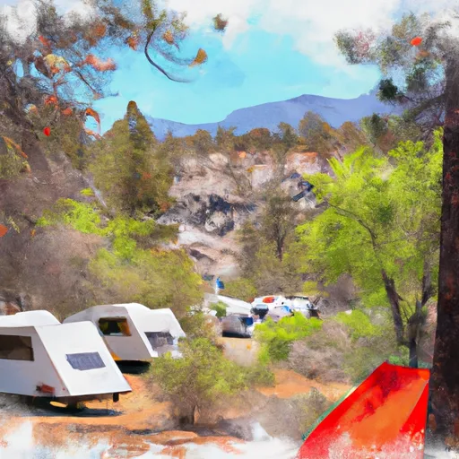 Manker Flat Campground
|
||
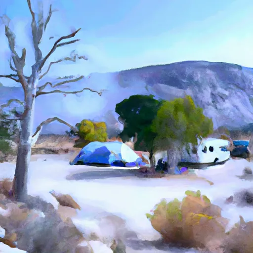 Manker Flat
|
||
 Commanche
|
