Summary
Spanning an area of approximately 160 square miles (414 square kilometers), the mountain offers a challenging yet rewarding mountaineering experience for enthusiasts. During the winter season, San Gorgonio receives a significant amount of snowfall, with snowpack depths ranging from 5 to 15 feet (1.5 to 4.6 meters) depending on the year. This makes it an ideal destination for winter mountaineering and backcountry skiing.
Several creeks and rivers are fed by the runoff from San Gorgonio's snowpack. The Whitewater and Santa Ana Rivers, as well as Vivian Creek and Mill Creek, are among the waterways that benefit from the mountain's snowmelt. These water sources provide essential freshwater supply to the surrounding regions and support a diverse ecosystem.
San Gorgonio takes its name from Saint Gorgonius, a Roman soldier who was martyred for his Christian beliefs. The mountain has also been referred to as "Old Greyback" due to its distinct gray appearance and prominence in the area. While there aren't significant legends or lore specific to San Gorgonio, its rich history includes being a sacred place for Native American tribes and serving as a training ground for World War II soldiers. Today, it remains an iconic peak for mountaineers seeking a challenging ascent and awe-inspiring views of the Southern California landscape.
°F
°F
mph
Wind
%
Humidity
15-Day Weather Outlook
5-Day Hourly Forecast Detail
Regional Streamflow Levels
101
Cubic Feet Per Second
0
Cubic Feet Per Second
159
Cubic Feet Per Second
1
Cubic Feet Per Second
Area Campgrounds
| Location | Reservations | Toilets |
|---|---|---|
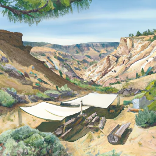 Mineshaft Flat
|
||
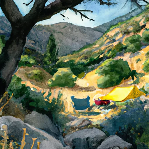 High Creek Camp
|
||
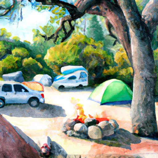 Big Tree
|
||
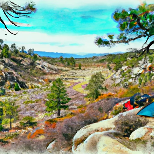 Fish Creek Saddle
|
||
 Halfway Camp
|
||
 Red Rock Flat
|

 Mill Creek
 Santa Ana River
 Big Bear Lake