2026-02-24T05:00:00-07:00
...WINTRY MIX IN VALLEYS AND MOUNTAIN SNOW MONDAY THROUGH MONDAY NIGHT... .Snow levels will be borderline in northwest Montana valleys, and a wintry mix brings an increased risk for slick conditions during the Monday morning commute. Confidence is highest for accumulating snow across Lincoln County valley areas. Over mountain passes, snow will begin overnight with minor impacts, intensifying by Monday afternoon. Expect moderate travel impacts with slushy accumulation on I-90 and US-2 through Monday night. * WHAT...Snow expected. There is a likelihood of minor to moderate winter weather impacts. Total snow accumulations of 1 to 4 inches in the valleys and 6 to 9 inches from Essex to Marias Pass. Higher amounts are expected in the higher terrain. Winds gusting as high as 35 mph. * WHERE...Highway 83 Bigfork to Swan Lake, Essex, Glacier National Park, Marias Pass, Polebridge, and Bad Rock Canyon. * WHEN...From 5 AM Monday to 5 AM MST Tuesday. * IMPACTS...For MODERATE winter weather impacts, expect disruptions to normal activities. Hazardous traveling conditions. Use extra caution while driving. Closures and disruptions to infrastructure may occur.
Summary
With an elevation of approximately 8,760 feet (2,670 meters), it offers breathtaking views of the surrounding landscape. This mountain is known for its rugged terrain and challenging climbing opportunities, attracting both experienced mountaineers and adventurers seeking a thrilling outdoor experience.
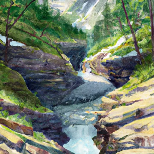
During the winter season, Clements Mountain receives an average snowpack ranging from 80 to 120 inches. This accumulation of snow creates excellent conditions for winter sports such as skiing and snowboarding. The mountain's unique topography also contributes to the formation of small creeks and streams that flow down its slopes. These waterways, including the renowned Avalanche Creek and Iceberg Creek, benefit from the mountain's runoff, providing a vital water source for the surrounding ecosystem.
The name "Clements Mountain" has an intriguing history. It is named after B.B. Clements, a prominent early settler and explorer in the area. The mountain holds significance in local lore and legends, with stories of hidden treasures and mysterious encounters. These tales add an element of fascination and intrigue to the mountain's allure, captivating visitors and sparking their imagination.
In conclusion, Clements Mountain stands tall as a notable peak in the Rocky Mountains. With its impressive elevation, ample snowpack, and contribution to local waterways, it offers both a challenging climbing experience and a picturesque vista. Its rich history and intriguing legends further enhance its appeal, making it a must-visit destination for mountain enthusiasts.
°F
°F
mph
Wind
%
Humidity
15-Day Weather Outlook
5-Day Hourly Forecast Detail
Regional Streamflow Levels
113
Cubic Feet Per Second
631
Cubic Feet Per Second
4,310
Cubic Feet Per Second
361
Cubic Feet Per Second
Area Campgrounds
| Location | Reservations | Toilets |
|---|---|---|
 Avalanche Creek - Glacier National Park
|
||
 AVALANCHE CREEK
|
||
 Gunsight Lake
|
||
 Reynolds Creek
|
||
 Snyder Lake
|
||
 Cracker Lake
|
