Summary
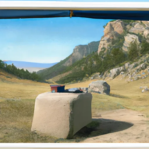
It is situated in the Crazy Mountains, a subrange within the Rockies, in the state of Montana, United States. The mountain offers stunning panoramic views of the surrounding landscape and attracts mountaineers and hikers seeking a challenging and rewarding adventure.
During the winter season, the snowpack on Crazy Peak can vary significantly. The area receives an average annual snowfall of around 150 inches, resulting in a substantial snowpack that attracts winter sports enthusiasts. The snowpack range during the winter can reach depths of several feet, making appropriate gear and safety precautions essential for those venturing into the area.
Crazy Peak also serves as a significant source of runoff for several creeks and rivers. The melting snow from the mountain flows into creeks such as Big Timber Creek and Little Timber Creek, eventually contributing to the flow of the Yellowstone River. This water supply supports a diverse ecosystem and provides important resources for the surrounding vegetation, wildlife, and local communities.
The name "Crazy Peak" has an interesting history. It is said to have originated from the Crow tribe, who referred to the mountain as "Aashawuua," meaning "Crazy Woman." According to legend, a woman had gone mad after her husband was killed while hunting in the area, and she was left to roam the mountain alone. The name stuck, and over time, it became known as Crazy Peak. The mountain continues to captivate adventurers with its beauty and rich history, attracting those seeking both a thrilling climb and a connection to the region's lore.
°F
°F
mph
Wind
%
Humidity
15-Day Weather Outlook
5-Day Hourly Forecast Detail
Regional Streamflow Levels
828
Cubic Feet Per Second
23
Cubic Feet Per Second
1,280
Cubic Feet Per Second
77
Cubic Feet Per Second
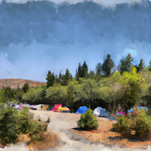
Area Campgrounds
| Location | Reservations | Toilets |
|---|---|---|
 Halfmoon Campground
|
||
 Ibex Cabin
|
||
 Porcupine Cabin
|
