Summary
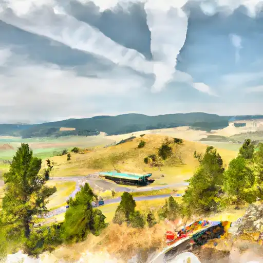
Standing at an impressive elevation of 10,607 feet, it offers breathtaking panoramic views of the surrounding landscape. This mountain is a part of the Anaconda Range and is situated within the Deerlodge National Forest. Its vast expanse covers an area of approximately 50 square miles, making it a significant feature in the region.
During the winter season, Mount Haggin experiences a diverse snowpack range due to its high elevation and proximity to the Continental Divide. Snow accumulation can vary greatly, with an average annual snowfall of around 200 inches. This makes it a popular destination for winter sports enthusiasts, including skiers and snowboarders.
Mount Haggin is also known for its contribution to the local hydrology. Several creeks and rivers receive runoff from the mountain, including the North Fork of Flint Creek and the East Fork of Rock Creek. This creates an abundant water supply for the surrounding area, supporting diverse wildlife and vegetation.
In terms of history, Mount Haggin is named after James Haggin, a prominent and influential figure in Montana's mining industry during the late 19th century. There are no specific legends or lore associated with this mountain, but its name serves as a testament to the rich mining heritage of the region.
Sources:
- "Mount Haggin." Peakbagger, peakbagger.com/peak.aspx?pid=23975.
- "Mount Haggin." Montana Wilderness Association, wildmontana.org/wild-life/mount-haggin/.
°F
°F
mph
Wind
%
Humidity
15-Day Weather Outlook
5-Day Hourly Forecast Detail
Regional Streamflow Levels
434
Cubic Feet Per Second
114
Cubic Feet Per Second
5
Cubic Feet Per Second
221
Cubic Feet Per Second
Area Campgrounds
| Location | Reservations | Toilets |
|---|---|---|
 Spring Hill Campground
|
||
 Spring Hill
|
||
 Seymour Creek
|
||
 Lower Seymour Lake Campground
|
||
 Warm Springs
|
||
 Seymour Creek Campground
|
