2026-02-24T05:00:00-07:00
* WHAT...Snow and blowing snow expected. Total snow accumulations between 6 and 8 inches near pass level, with amounts in excess of a foot above pass level. * WHERE...East Glacier Park Region Zone. * WHEN...From 5 AM Monday to 5 AM MST Tuesday. * IMPACTS...Travel could be very difficult and tire chains may be required for some vehicles. Those in the backcountry should ensure they are prepared for dangerous conditions. Areas of blowing snow could significantly reduce visibility. * ADDITIONAL DETAILS...Snowfall rates look to peak between late afternoon and late evening Monday.
Summary
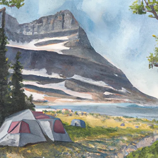
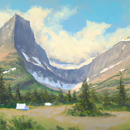
With an elevation of 10,014 feet (3,052 meters), it offers breathtaking views and challenging terrain for mountaineers. This mountain exhibits a magnificent size with its rugged slopes and impressive cliffs.
During the winter season, Mount Siyeh receives a substantial amount of snowfall, transforming it into a paradise for winter sports enthusiasts. The snowpack range can vary depending on weather conditions, but typically ranges from several feet to over ten feet in depth. This deep snowpack attracts skiers, snowboarders, and snowshoers who seek exhilarating adventures on its slopes.
Mount Siyeh is known for its pristine creeks and rivers that originate from its snowmelt and glacier runoff. These water bodies include the Saint Mary River, which flows on the eastern side of the mountain, and Baring Creek, which runs on the western side. The crystal-clear waters of these waterways provide a refreshing opportunity for hikers to cool off and admire the natural beauty surrounding the mountain.
The name "Siyeh" has a rich history and carries cultural significance. It is derived from the Blackfeet Native American tribe, who named the mountain "Siyeh" meaning "burnt" or "black." According to Blackfeet legend, Siyeh is believed to be the home of a powerful spirit. This lore adds an intriguing and mystical element to the mountain, making it even more captivating for those who visit or explore its vicinity.
Overall, Mount Siyeh is a majestic mountain in the Rocky Mountains mountain range, offering a challenging and rewarding experience for mountaineers. Its impressive size, snowpack range, and significant water runoff contribute to its allure. Additionally, the cultural history and legends surrounding its name further enhance the mystique associated with this awe-inspiring peak.
°F
°F
mph
Wind
%
Humidity
15-Day Weather Outlook
5-Day Hourly Forecast Detail
Regional Streamflow Levels
113
Cubic Feet Per Second
361
Cubic Feet Per Second
27
Cubic Feet Per Second
4,310
Cubic Feet Per Second
Area Campgrounds
| Location | Reservations | Toilets |
|---|---|---|
 Cracker Lake
|
||
 Otokomi Lake
|
||
 Reynolds Creek
|
||
 MANY GLACIER
|
||
 Many Glacier campground
|
||
 Many Glacier - Glacier National Park
|
