2026-02-25T23:00:00-07:00
* WHAT...West winds 30 to 40 mph with gusts up to 65 mph possible. * WHERE...The Interstate 90 Corridor between Bozeman and Whitehall, Upper Blackfoot and MacDonald Pass, Gates of the Mountains, Little Belt and Highwood Mountains, Helena Valley, Big Belt, Bridger and Castle Mountains, Meagher County Valleys, Elkhorn and Boulder Mountains, and Canyon Ferry Area. * WHEN...From late Tuesday night through Wednesday evening. * IMPACTS...Travel could be difficult, especially for high profile vehicles. * ADDITIONAL DETAILS...Another round of strong winds will be possible Thursday and Friday.
Summary
It stands tall at an elevation of 9,665 feet, offering breathtaking panoramic views of the surrounding landscape. With its distinctive shape and size, Sacajawea Peak serves as a popular destination for mountaineers and outdoor enthusiasts.
During the winter season, the mountain receives a significant amount of snowfall, thereby providing excellent opportunities for snowshoeing, skiing, and winter mountaineering. The snowpack ranges from around 5 to 10 feet, making it suitable for winter recreational activities. The surrounding area also features numerous creeks and rivers that receive runoff from the mountain, contributing to the rich water resources in the region.
The name "Sacajawea Peak" holds historical significance, paying tribute to the Shoshone woman who played a vital role as an interpreter and guide during the Lewis and Clark Expedition in the early 19th century. Sacajawea's bravery and invaluable assistance were crucial in the success of the expedition. The name also holds interesting lore and legends, showcasing the cultural importance of Native American history in the area.
In conclusion, Sacajawea Peak in the Rocky Mountains offers mountaineers a thrilling experience with its impressive elevation, stunning views, and ample winter recreational opportunities. Its association with Sacajawea adds a historical and cultural significance to the mountain, making it an intriguing destination for those interested in exploration and adventure.
°F
°F
mph
Wind
%
Humidity
15-Day Weather Outlook
5-Day Hourly Forecast Detail
Regional Streamflow Levels
828
Cubic Feet Per Second
19
Cubic Feet Per Second
1,280
Cubic Feet Per Second
248
Cubic Feet Per Second
Area Campgrounds
| Location | Reservations | Toilets |
|---|---|---|
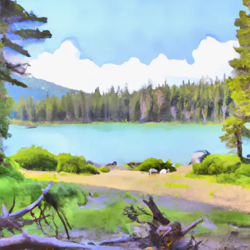 Fairy Lake
|
||
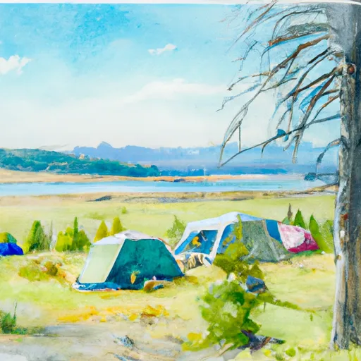 Fairy Lake Campground
|
||
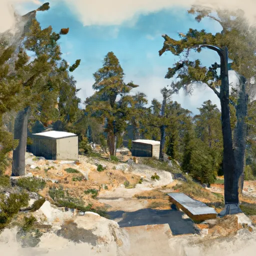 Battle Ridge Cabin
|
||
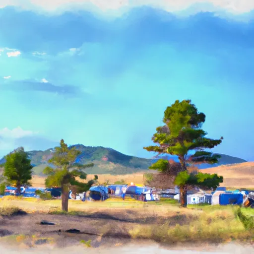 Battle Ridge Campground
|
||
 Battle Ridge
|

 Fairy Pond
 Green Canyon Creek
 East Gallatin River
 Hyalite Creek