Summary
Rising to an elevation of approximately 7,470 feet, this unique mountain stands out with its distinct checkerboard-like pattern on its surface. The mesa covers an area of about 1.8 square miles, making it a notable feature in the region.
During the winter season, Checkerboard Mesa experiences a varying snowpack range. The amount of snowfall can significantly differ from year to year due to the region's unpredictable weather patterns. Snow can accumulate heavily on the mesa, creating a picturesque winter landscape that attracts outdoor enthusiasts.
The mountain's runoff feeds into several creeks and rivers in the surrounding area, including the nearby North Creek and the East Fork of the Virgin River. This runoff plays a vital role in the local ecosystem, providing water to support vegetation and wildlife.
The name "Checkerboard Mesa" is believed to have originated from the unique pattern of horizontal and vertical cracks that resembles a checkerboard. This distinctive feature has captivated the imagination of locals and visitors alike, giving rise to various legends and lore about its formation. While there may be different interpretations of the mountain's history, the name itself is widely recognized and embraced by the local community. Checkerboard Mesa continues to be a popular destination for hikers, photographers, and nature enthusiasts seeking to explore the beauty and mystery of the Intermountain West mountain range.

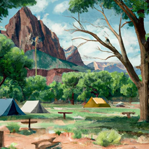 Zion Mountain Ranch Campground
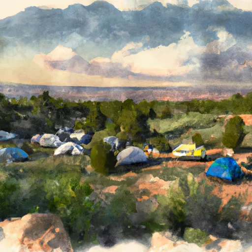 Open camp spot
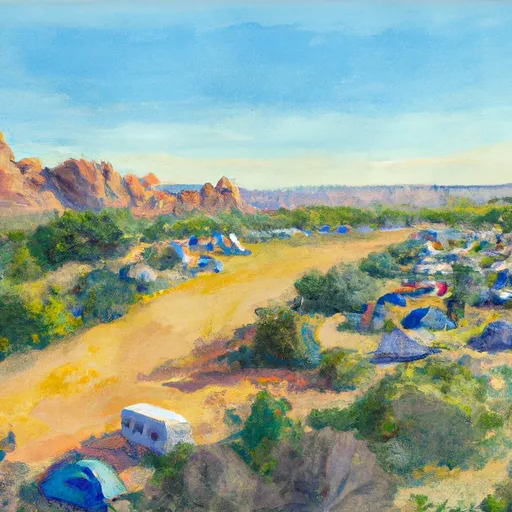 South Campground Site 125
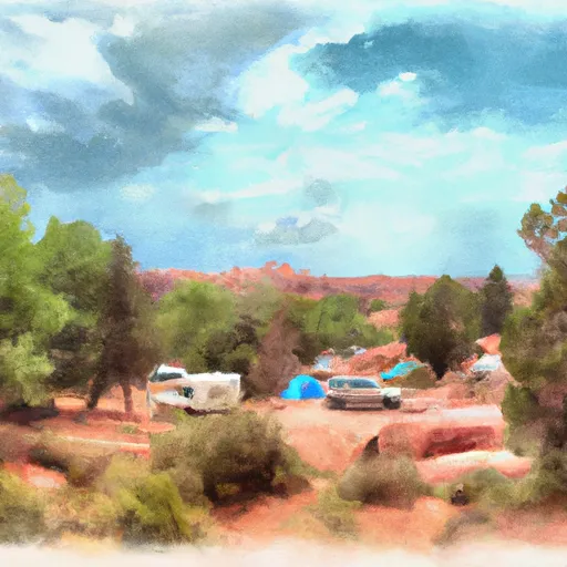 South Campground Site 126
 Very tight dirt Road, lots of branches will scratch vehicle
 South Campground Site 114