Summary
Standing tall at an elevation of 11,151 feet (3,399 meters), it offers breathtaking views and challenging terrain for mountaineers. This peak is known for its size, with a summit that spans approximately 3 square miles (7.8 square kilometers).
During the winter season, Doyle Peak receives a significant amount of snowfall due to its location in a region characterized by heavy winter precipitation. Snowpack in this area typically ranges from 10 to 15 feet (3 to 4.5 meters), providing excellent opportunities for winter sports enthusiasts. The mountain's snowpack also feeds into several creeks and rivers in the surrounding area, contributing to the water supply and supporting local ecosystems.
As for the history and lore of Doyle Peak, there are no specific legends or folklore associated with its name. The peak was most likely named after an early explorer, settler, or surveyor in the region. It is always important to verify the accuracy of such information by consulting multiple independent sources. Nonetheless, mountaineers and nature enthusiasts continue to be captivated by the allure and challenges of conquering Doyle Peak in the Intermountain West.

 Lockett Meadow
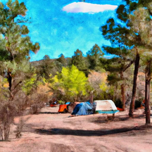 Lockett Meadow Campground
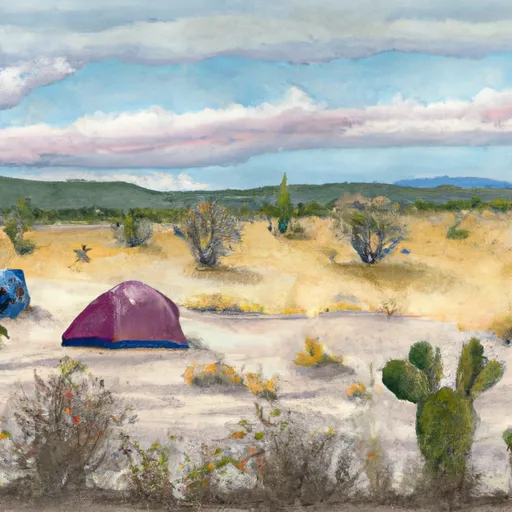 Freidlein Prairie Dispersed Camping
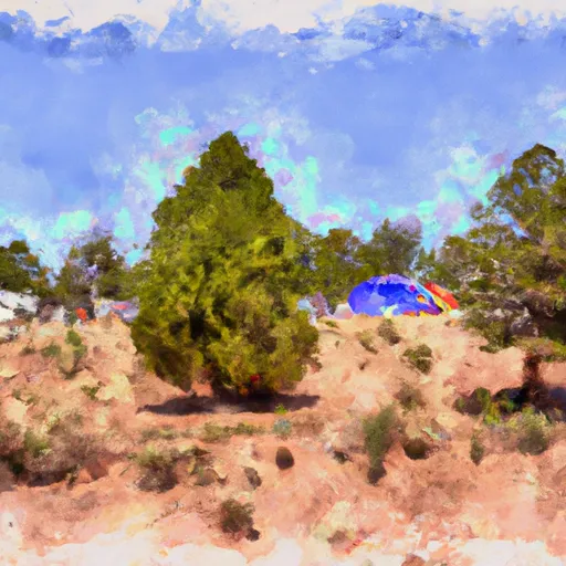 2018 Pecos Conference Campground
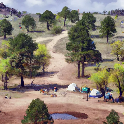 Little Elden Spring Horse Camp
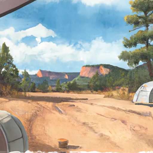 Coconino free camping