Summary
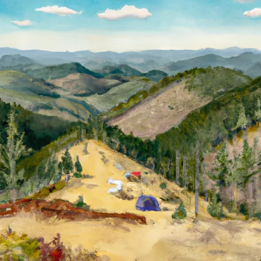
This majestic mountain is part of the Strawberry Mountain Wilderness, encompassing an area of approximately 69,350 acres. Known for its stunning beauty and diverse terrain, it offers a range of recreational activities, including hiking, backpacking, and wildlife viewing.
During the winter season, Strawberry Mountain experiences varying snowpack levels. Snowfall can start as early as October and continue through April, with peak snowpack typically occurring in February. The snowpack range varies each year, but it generally averages around 50-60 inches (127-152 cm) in depth. This provides excellent opportunities for winter sports enthusiasts, such as snowshoeing and cross-country skiing.
Strawberry Mountain is also renowned for its numerous creeks and rivers that originate from its slopes. These waterways include the Strawberry River, which flows through the wilderness area, providing a vital water source for wildlife and flora. Other creeks, such as Lake Creek and Slide Creek, also receive runoff from the mountain, creating picturesque landscapes and supporting diverse ecosystems.
The name "Strawberry Mountain" is said to have originated from early settlers who discovered an abundance of wild strawberries growing in the area, particularly along the mountain's lower slopes. These sweet, juicy berries became a cherished resource for both Native American tribes and later pioneers. Throughout history, Strawberry Mountain has become the subject of various legends and lore, captivating the imaginations of those who visit its scenic slopes.
Weather Forecast
Regional Streamflow Levels
220
Cubic Feet Per Second
254
Cubic Feet Per Second
1
Cubic Feet Per Second
0
Cubic Feet Per Second
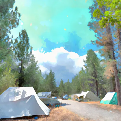
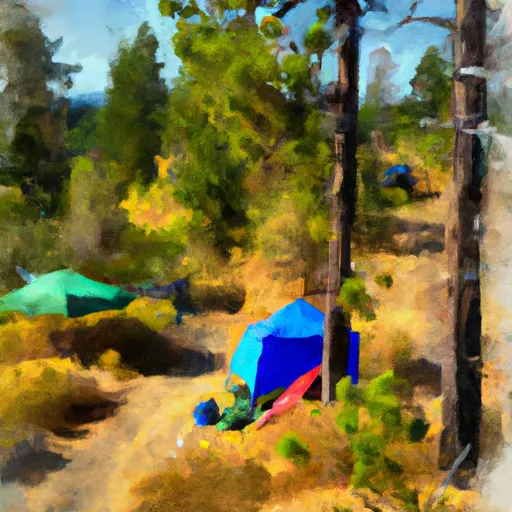
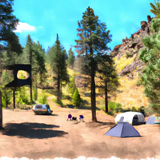
Area Campgrounds
| Location | Reservations | Toilets |
|---|---|---|
 Strawberry Campground
|
||
 Strawberry
|
||
 Slide Creek Campground
|
||
 Slide Horse Camp
|
||
 McNaughton Spring Campground
|
||
 Canyon Meadows
|
