Summary
Standing at an impressive elevation of 14,265 feet, it is one of the tallest peaks in Colorado. This majestic mountain offers breathtaking panoramic views of the surrounding landscape and is a popular destination for mountaineers and hikers alike.
During the winter season, Castle Peak receives a substantial amount of snowfall, with snowpack depths ranging from 5 to 10 feet. The mountain's extensive snowpack creates ideal conditions for winter sports such as skiing and snowboarding. Additionally, Castle Peak's snowpack serves as an important water source for nearby creeks and rivers during the warmer months.
One of the notable creeks that receives runoff from Castle Peak is Castle Creek. This creek flows through a stunning valley and eventually joins the Roaring Fork River. The runoff from Castle Peak also contributes to the water supply of other nearby rivers, including the Fryingpan River and the Colorado River.
The name "Castle Peak" is believed to have been given to the mountain due to its distinct shape, resembling a medieval castle. The name reflects the rich history and lore surrounding this magnificent peak. While there are no specific legends associated with Castle Peak, its striking appearance and challenging terrain have captivated the imaginations of many adventurers throughout the years.
°F
°F
mph
Wind
%
Humidity
15-Day Weather Outlook
5-Day Hourly Forecast Detail
Regional Streamflow Levels
6
Cubic Feet Per Second
1
Cubic Feet Per Second
21
Cubic Feet Per Second
207
Cubic Feet Per Second
Area Campgrounds
| Location | Reservations | Toilets |
|---|---|---|
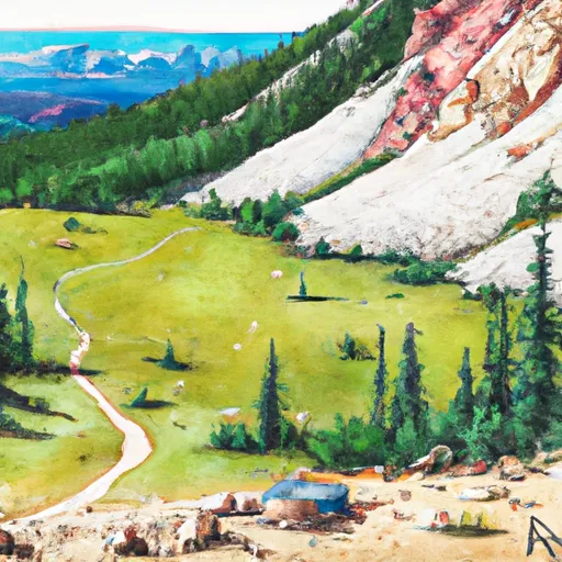 Pearl Pass Dispersed Camping
|
||
 Gothic
|
||
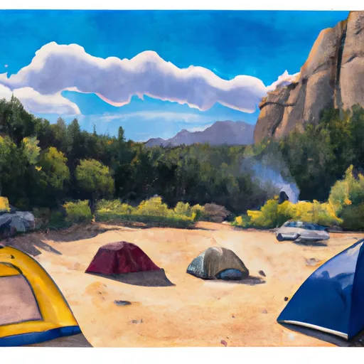 Gothic Campground
|
||
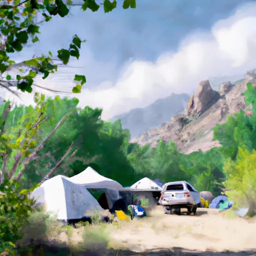 Gothic Campground - Gunnison RD
|
||
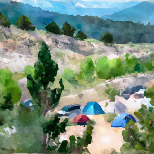 Silver Queen Campground
|
||
 Silver Queen
|
