Summary
Standing at an elevation of 13,497 feet, this majestic peak offers a challenging adventure for mountaineers and hikers alike. With its mesmerizing size and breathtaking views, it attracts outdoor enthusiasts from around the world.
During the winter season, Hunter Peak experiences a varying snowpack range, typically accumulating from 6 to 15 feet of snow. This makes it an ideal destination for winter sports enthusiasts, such as backcountry skiers and snowshoers. The deep snowpack provides ample opportunities for thrilling descents and exploration.
Hunter Peak is also known for its significant contribution to the water supply in the region. Several creeks and rivers benefit from the mountain's runoff, including the renowned Big Thompson River. This pristine water source supports a diverse ecosystem and offers a refreshing respite for wildlife and humans alike.
The history of the name "Hunter Peak" is steeped in lore and legends. While the exact origin is shrouded in mystery, it is believed to have been named after a legendary hunter who roamed the surrounding wilderness. The folklore surrounding the mountain adds an element of intrigue, captivating visitors with tales of adventure and natural wonders.
In conclusion, Hunter Peak in the Rocky Mountains is a remarkable destination for mountaineers and outdoor enthusiasts. With its impressive elevation, varying snowpack range, and contribution to local waterways, it offers a thrilling experience and a chance to connect with the untamed beauty of nature.
°F
°F
mph
Wind
%
Humidity
15-Day Weather Outlook
5-Day Hourly Forecast Detail
Regional Streamflow Levels
6
Cubic Feet Per Second
0
Cubic Feet Per Second
8
Cubic Feet Per Second
21
Cubic Feet Per Second
Area Campgrounds
| Location | Reservations | Toilets |
|---|---|---|
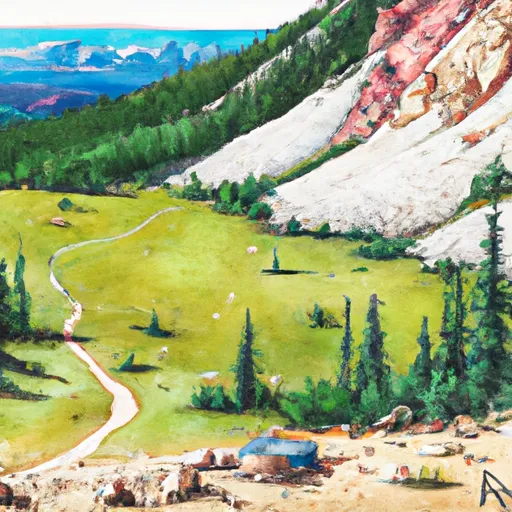 Pearl Pass Dispersed Camping
|
||
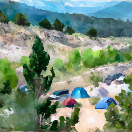 Silver Queen Campground
|
||
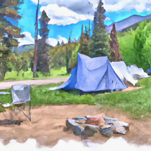 Silver Queen
|
||
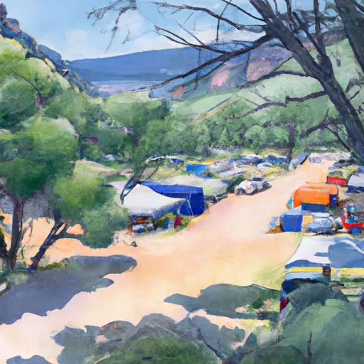 Silver Bell Campground
|
||
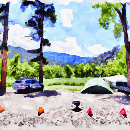 Silver Bell
|
||
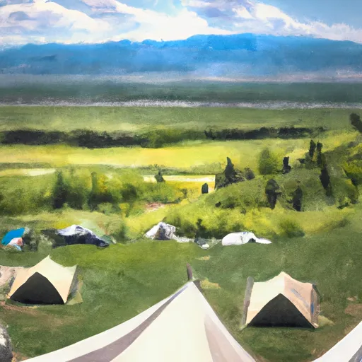 Silver Bar Campground
|
