Summary
These iconic mountains stand tall at an elevation of 14,156 feet and 14,014 feet, respectively. The Maroon Bells are renowned for their distinctive maroon-colored mudstone, which gives them their name. They are part of the Elk Mountains and are considered among the most photographed peaks in North America.
During the winter season, the Maroon Bells receive substantial snowfall, creating excellent opportunities for winter sports enthusiasts. The snowpack range can vary greatly depending on the year, with an average snow depth of around 4 to 5 feet. This makes it a popular destination for skiing, snowboarding, and snowshoeing. Additionally, the mountains' snow-capped peaks offer a breathtaking backdrop for photography and exploration.
The Maroon Bells also contribute to the water resources in the region. Snowmelt from these peaks feeds into Maroon Creek, which flows through the valley below. This creek eventually joins the Roaring Fork River, a popular spot for fly fishing and rafting.
Regarding the history and lore of the Maroon Bells, Native American tribes believed these mountains were cursed, considering them the home of evil spirits. The Ute tribe referred to them as the "Dead Mountains" due to a legend of a great battle that took place between the Utes and another tribe, resulting in the blood of fallen warriors staining the peaks a deep red. The name "Maroon Bells" was later given due to their maroon-colored rock. Today, the Maroon Bells continue to captivate visitors with their natural beauty and hold a special place in the hearts of those who appreciate the rich history and legends of the region.
°F
°F
mph
Wind
%
Humidity
15-Day Weather Outlook
5-Day Hourly Forecast Detail
Regional Streamflow Levels
21
Cubic Feet Per Second
207
Cubic Feet Per Second
6
Cubic Feet Per Second
1
Cubic Feet Per Second
Area Campgrounds
| Location | Reservations | Toilets |
|---|---|---|
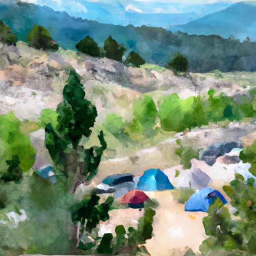 Silver Queen Campground
|
||
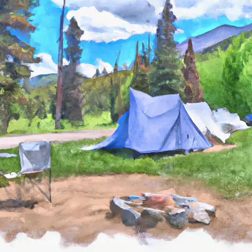 Silver Queen
|
||
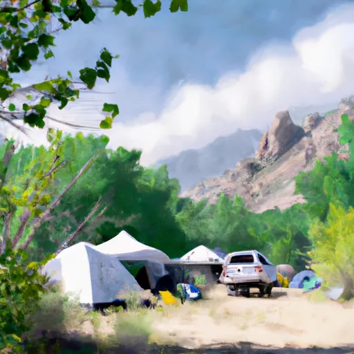 Gothic Campground - Gunnison RD
|
||
 Gothic
|
||
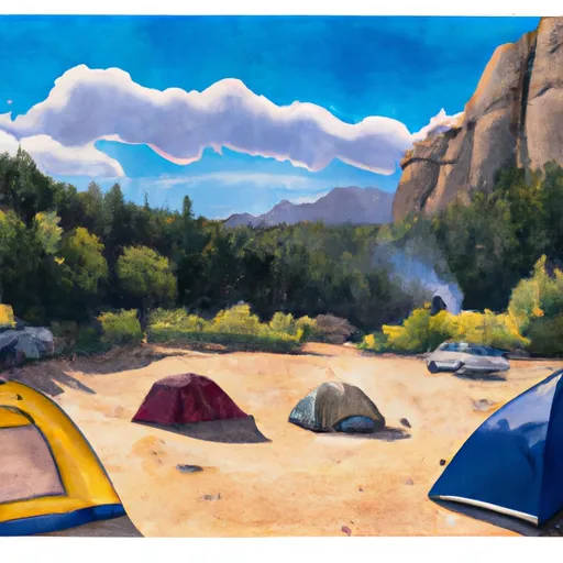 Gothic Campground
|
||
 Silver Bell Campground
|
