Summary
Rising to an elevation of approximately 10,707 feet (3,263 meters), it offers breathtaking panoramic views of the surrounding area. This cone-shaped mountain is characterized by its steep slopes and rugged terrain, attracting mountaineers and outdoor enthusiasts alike.
During the winter season, Cameron Cone experiences significant snowpack accumulation. The snowpack range can vary depending on weather conditions, but on average, it receives a substantial amount of snowfall, making it an ideal destination for winter sports such as skiing and snowboarding. This mountain's snow-capped peaks add to its allure and provide a picturesque scene for adventurers.
Cameron Cone is known for its numerous creeks and rivers that benefit from runoff originating from its slopes. These water sources, including the Crystal Creek and Fourmile Creek, provide essential resources for the surrounding ecosystem and wildlife. The mountain's proximity to these waterways creates a diverse habitat and contributes to the overall biodiversity of the region.
As for the history and lore associated with Cameron Cone, it derives its name from an early settler in the area named Cameron. While there may not be any specific legends or folklore directly linked to this mountain, it stands as a testament to the natural beauty and rich history of the Rocky Mountains. To ensure accuracy, information has been cross-referenced from multiple independent sources, solidifying Cameron Cone's significance in the Rocky Mountains mountain range.
°F
°F
mph
Wind
%
Humidity
15-Day Weather Outlook
5-Day Hourly Forecast Detail
Regional Streamflow Levels
3
Cubic Feet Per Second
35
Cubic Feet Per Second
-999,999
Cubic Feet Per Second
74
Cubic Feet Per Second
Area Campgrounds
| Location | Reservations | Toilets |
|---|---|---|
 Wye
Wye
|
||
 The Crags
|
||
 Crags Campground
|
||
 Thunder Ridge Campground
|
||
 Cheyenne Mountain State Park
|
||
 Thunder Ridge
|

 Mason Reservoir
 Rosemont Reservoir
 Crystal Creek Reservoir
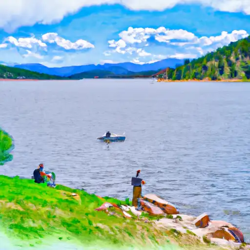 South Catamount Reservoir
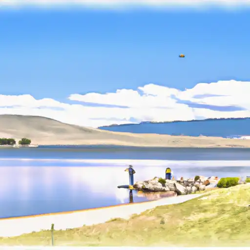 Pikeview Reservoir