2026-02-24T17:00:00-07:00
* WHAT...West winds 35 to 50 mph with gusts up to 80 mph possible. * WHERE...The Northern Front Range Foothills, the Mosquito Range, and the Front Range Mountains including, Rocky Mountain National Park and the Indian Peaks. * WHEN...From Tuesday morning through late Tuesday afternoon. * IMPACTS...Gusty winds will blow around unsecured objects and a few power outages may result. Travel could be difficult, especially for high profile vehicles.
Summary
With a summit elevation of 14,264 feet (4,348 meters), it is the highest peak in the Mount Evans Wilderness and the closest 14er to Denver. The mountain offers breathtaking panoramic views and is easily accessible by a scenic drive along the highest paved road in North America, reaching an elevation of 14,130 feet (4,307 meters).
During the winter season, Mount Evans experiences heavy snowfall and freezing temperatures. Snowpack ranges can vary depending on the year, but on average, it can exceed 10 feet in depth in certain areas. This makes it a popular destination for winter sports enthusiasts, including backcountry skiers and snowshoers. Several creeks and rivers, such as Bear Creek and Chicago Creek, originate from the mountain and are fed by the snowmelt during spring and summer, providing a vital water source for surrounding communities.
The mountain is named after John Evans, a former territorial governor of Colorado. However, it is believed that the Ute Native American tribe referred to Mount Evans as "Apaches' Tears" due to the frequent thunderstorms and lightning strikes that occur in the area. According to local legends, the mountain is also considered sacred by some Native American tribes, who believe it to be the home of powerful spirits. Mount Evans has a rich history attracting explorers and adventurers, and today it continues to captivate visitors with its natural beauty and unique alpine environment.
°F
°F
mph
Wind
%
Humidity
15-Day Weather Outlook
5-Day Hourly Forecast Detail
Regional Streamflow Levels
93
Cubic Feet Per Second
-999
Cubic Feet Per Second
3
Cubic Feet Per Second
-999
Cubic Feet Per Second
Area Campgrounds
| Location | Reservations | Toilets |
|---|---|---|
 Guanella Pass
|
||
 Guanella Pass Campground
|
||
 Echo Lake - Idaho Springs
|
||
 Clear Lake
|
||
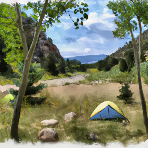 West Chicago Creek
|
||
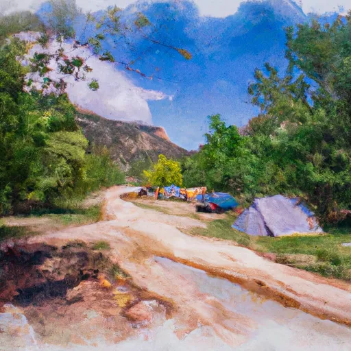 West Chicago Creek Campground
|

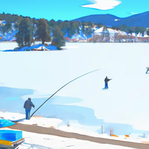 Frozen Lake
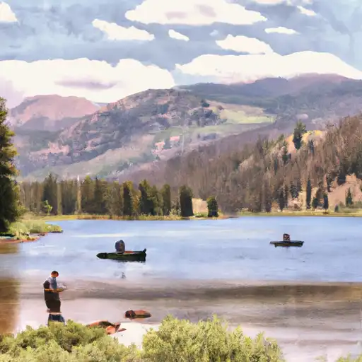 Chicago Lakes
 Beartrack Lakes
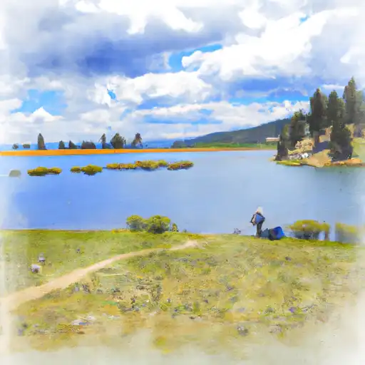 Lincoln Lake
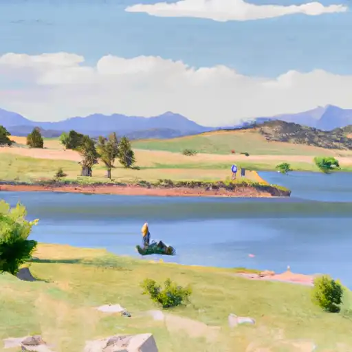 Roosevelt Lakes