2026-02-24T17:00:00-07:00
* WHAT...West winds 35 to 50 mph with gusts up to 80 mph possible. * WHERE...The Northern Front Range Foothills, the Mosquito Range, and the Front Range Mountains including, Rocky Mountain National Park and the Indian Peaks. * WHEN...From Tuesday morning through late Tuesday afternoon. * IMPACTS...Gusty winds will blow around unsecured objects and a few power outages may result. Travel could be difficult, especially for high profile vehicles.
Summary
Rising to an elevation of approximately 12,880 feet, it offers climbers and hikers an exhilarating experience. With its expansive size and rugged terrain, Mount Ida presents a challenging yet rewarding adventure for outdoor enthusiasts.
During the winter season, Mount Ida receives an impressive snowpack range, making it an ideal destination for winter sports enthusiasts. Snow depths can vary widely, with an average snowfall of over 300 inches annually. This makes it a popular spot for snowshoeing, cross-country skiing, and mountaineering.
Several creeks and rivers benefit from the runoff of Mount Ida. The mountain's melting snow and glaciers feed into the Colorado River, which provides critical water resources for surrounding communities and wildlife. The Big Thompson River and Cache La Poudre River also receive runoff from this majestic peak, further contributing to the region's water supply.
The name "Mount Ida" holds historical significance. It is derived from Greek mythology, specifically referencing Mount Ida in ancient Turkey, which was believed to be the birthplace of the goddess Cybele. The name was likely given by early explorers or settlers who were inspired by the mountain's grandeur and wanted to honor the mythical connection.
Mount Ida's lore and legends add an intriguing aspect to its reputation. Local folklore speaks of hidden treasure and lost gold mines in the mountain's remote areas, drawing treasure hunters and adventurers to explore its rugged slopes. While these tales may spark curiosity, it is important to approach the mountain with respect and adhere to safety guidelines to ensure an enjoyable and responsible experience.
In conclusion, Mount Ida in the Rocky Mountains is a remarkable peak renowned for its elevation and size. With its diverse range of winter activities and important contribution to the local water system, it remains a popular destination for outdoor enthusiasts. The mountain's name and intriguing legends further enhance its allure, making it a captivating place to explore and appreciate.
°F
°F
mph
Wind
%
Humidity

 Little Rock Lake
 A011
A011
 A009
A009
 B029
B029
 B037
B037
 C062
C062
 Arrowhead Lake - RMNP
 Haynach Lakes & Drainage - RMNP
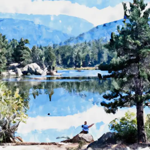 Rock Lake & Little Rock Lake - RMNP
 Loomis Lake - RMNP
 Spruce Lake - RMNP