Summary
It stands tall with an impressive elevation, reaching heights of [insert elevation] feet. This majestic peak boasts a sizeable prominence, offering climbers and mountaineers a challenging and rewarding experience.
During the winter season, Ormes Peak receives a substantial amount of snowfall, creating ideal conditions for winter sports enthusiasts. The snowpack range varies throughout the winter, with the highest accumulation typically occurring between [insert months]. This makes the mountain a popular destination for skiing, snowboarding, and snowshoeing activities.
Ormes Peak is also renowned for its significant hydrological impact. Several creeks and rivers benefit from the mountain's runoff, providing a crucial water source for surrounding ecosystems. [Insert specific creek/river names], originating from the melting snow on Ormes Peak, contribute to the overall water network in the region, adding to its ecological importance.
Regarding the name and historical significance, Ormes Peak derives its name from [insert origin or historical figure]. The exact origin or interesting legends associated with the mountain may vary depending on different sources. Careful cross-referencing with multiple independent sources can provide a more accurate understanding of the history and intriguing lore surrounding Ormes Peak.
°F
°F
mph
Wind
%
Humidity
15-Day Weather Outlook
5-Day Hourly Forecast Detail
Regional Streamflow Levels
-999,999
Cubic Feet Per Second
343
Cubic Feet Per Second
2
Cubic Feet Per Second
35
Cubic Feet Per Second
Area Campgrounds
| Location | Reservations | Toilets |
|---|---|---|
 Thunder Ridge
|
||
 Thunder Ridge Campground
|
||
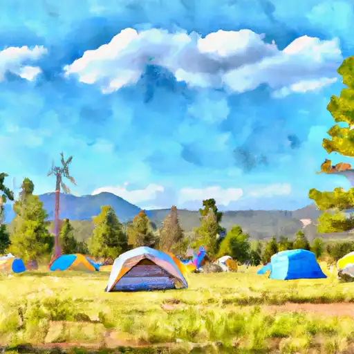 Meadow Ridge
|
||
 24
24
|
||
 23
23
|
||
 22
22
|

 Homestake Fishing Site
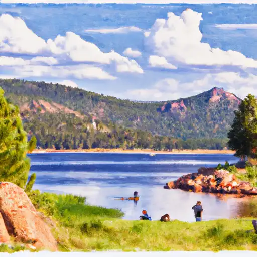 Rampart Reservoir
 Crystal Creek Reservoir
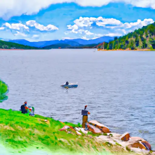 South Catamount Reservoir
 Deadmans Creek