Summary
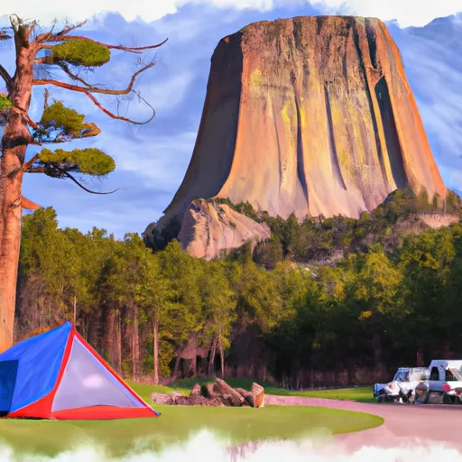
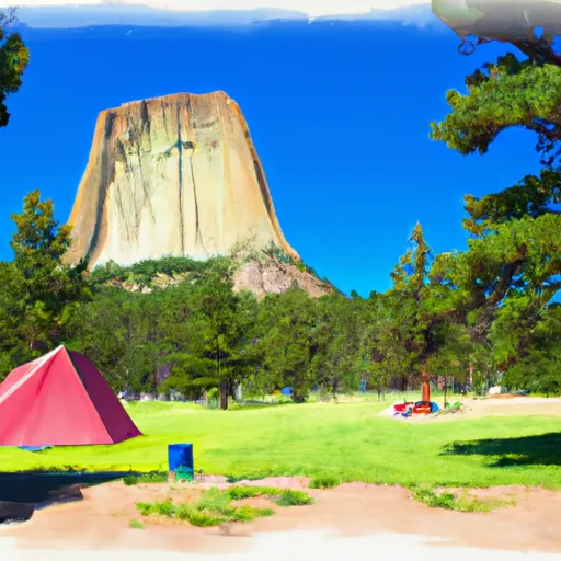
Standing at an elevation of 5,112 feet (1,558 meters) above sea level, this monolithic igneous rock formation attracts climbers and adventurers from all over the world. With a height of approximately 867 feet (265 meters) from its base to its summit, Devils Tower offers various climbing routes of different difficulties, making it a popular destination for mountaineers.
During the winter season, Devils Tower experiences a diverse snowpack range, depending on weather conditions. The North American Plains region generally receives moderate to heavy snowfall, which can accumulate on the Tower's slopes, creating challenging conditions for climbers. It is important for mountaineers to be well-prepared and equipped for the cold temperatures and potential hazards associated with snow and ice.
While Devils Tower itself does not have any specific creeks or rivers originating from its slopes, it is surrounded by the Belle Fourche River, which flows nearby. This river, along with other tributaries, may receive runoff from snowmelt during the spring, providing a water source for the local ecosystem.
The name "Devils Tower" originated from a translation error of the Native American name "Bear's Lodge" or "Bear's Tipi," which refers to the spiritual significance of the formation in Native American cultures. The tower holds great cultural and religious importance for many tribes, including the Lakota, Cheyenne, and Kiowa. Legends and lore associated with Devils Tower vary among tribes, but they often revolve around the creation of the tower by a bear or other mythical beings.
In conclusion, Devils Tower is a prominent mountain formation in the North American Plains range, offering a challenging and rewarding experience for mountaineers. With its unique geology, diverse snowpack range, and cultural significance, it continues to be a cherished destination for adventurers and a symbol of natural beauty in the region.
°F
°F
mph
Wind
%
Humidity

 Host Campsite
 Belle Fourche - Devils Tower National Monument
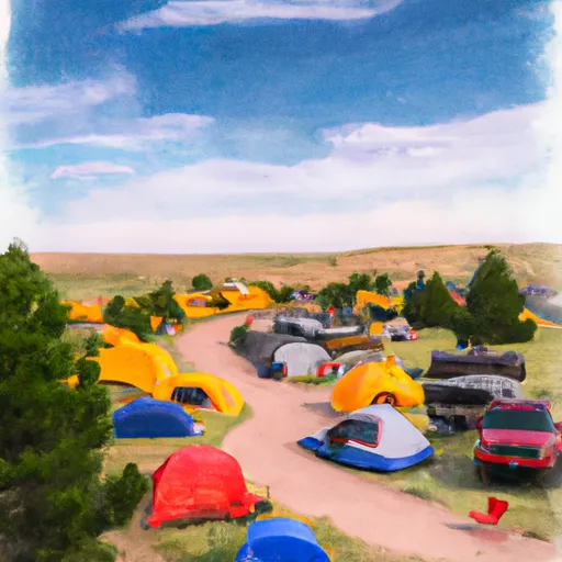
 Belle Fourche Campground
 VIP Host Campsite
 Devils Tower NM - Belle Fourche Campground