Summary
It spans across a substantial area, covering about 70 square miles (181 square kilometers).
During the winter season, Boulder Mountain receives a significant amount of snowfall, making it a popular destination for winter sports enthusiasts. Snowpack depths on the mountain can vary widely, typically ranging from 50 to 120 inches (127 to 305 centimeters). This abundant snowpack provides excellent opportunities for activities such as skiing, snowshoeing, and snowboarding.
Situated in a region known for its numerous creeks and rivers, Boulder Mountain contributes to the water resources of the surrounding areas. Several creeks, including Boulder Creek and Warm Springs Creek, receive runoff from the mountain, ensuring a consistent flow of water downstream throughout the year.
As for the name and history of Boulder Mountain, it is derived from the large boulders found scattered throughout the area. These boulders, remnants of ancient geological processes, have remained a distinctive feature of the mountain. There are no specific legends or folklore associated with Boulder Mountain, but its natural beauty and recreational opportunities make it a beloved destination for outdoor enthusiasts seeking adventure in the Rocky Mountains.
°F
°F
mph
Wind
%
Humidity

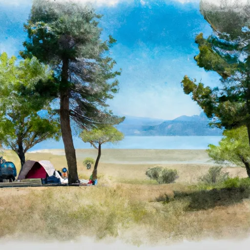 Lake Fork Campground
 Rapid Creek Dispersed Camping Area
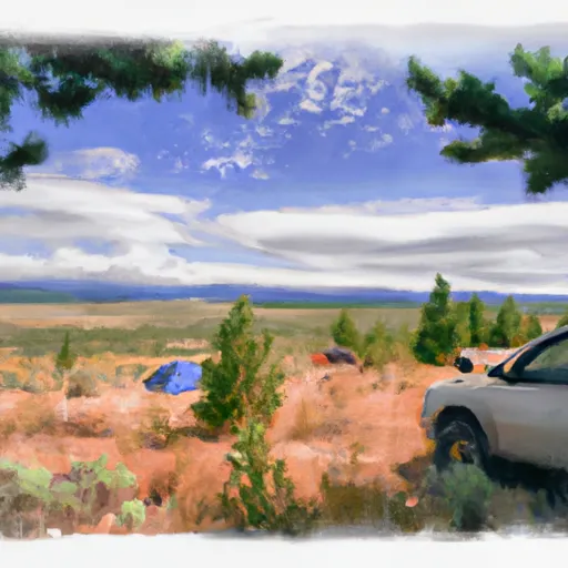 Paddy Flat Dispersed Camping Area
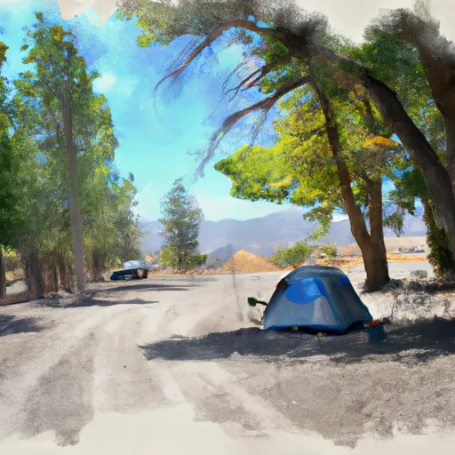 Black Lee Dispersed Camp Site
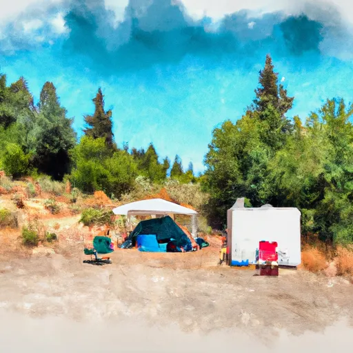 Paddy Flat Guard Station Rental Cabin
 Kennally Creek