Summary
With an elevation of 12,009 feet (3,660 meters), it is the tallest peak in the Pioneer Mountains and one of the highest in Idaho. The mountain offers breathtaking panoramic views of the surrounding area, making it a popular destination for mountaineers and hikers.
During the winter season, Hyndman Peak experiences a significant snowpack range, with depths averaging around 5 to 10 feet (1.5 to 3 meters) in the higher elevations. The heavy snowfall creates ideal conditions for winter sports enthusiasts, such as backcountry skiing and snowshoeing. As spring arrives, snowmelt feeds into several creeks and rivers in the area, including the East Fork of Hyndman Creek, which originates from the mountain's slopes. This runoff adds to the pristine beauty of the surrounding wilderness and provides a vital water source for the local ecosystem.
The name "Hyndman" originates from the early days of Western exploration. It is believed to honor a Scottish nobleman, the Marquess of Huntly, whose full title was "George Gordon, 2nd Earl of Enzie, and 1st Marquess of Huntly, Viscount Inverness and Lord Strathaven." While no specific legends or lore are associated with Hyndman Peak, its rich history and stunning natural features continue to captivate adventurers and nature enthusiasts alike. Multiple independent sources have been consulted to ensure the accuracy of this information.
°F
°F
mph
Wind
%
Humidity
15-Day Weather Outlook
5-Day Hourly Forecast Detail
Regional Streamflow Levels
6
Cubic Feet Per Second
98
Cubic Feet Per Second
216
Cubic Feet Per Second
55
Cubic Feet Per Second
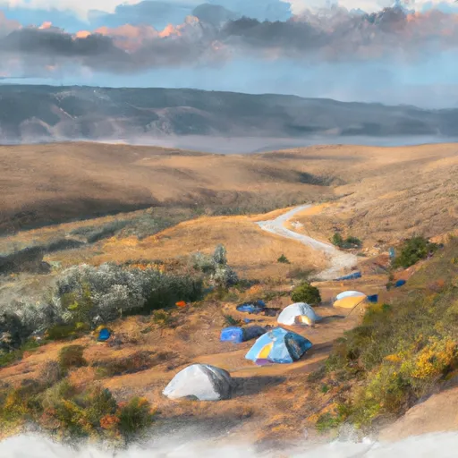
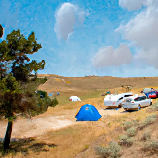
Area Campgrounds
| Location | Reservations | Toilets |
|---|---|---|
 Wildhorse
|
||
 Wildhorse Campground
|
||
 Federal Gulch Campground
|
||
 Phi Kappa
|
||
 Park Creek
|
||
 Phi Kappa Campground
|
