Summary
It stands tall at an impressive elevation, making it a popular destination for mountaineers and outdoor enthusiasts. With its towering height and breathtaking views, it offers a thrilling experience for those seeking adventure.
Covered in snow during the winter months, Mount Regan boasts a diverse snowpack range. From early winter until spring, the mountain receives a substantial amount of snowfall, making it ideal for winter sports such as skiing and snowboarding. The snowpack provides excellent conditions for these activities, attracting visitors from far and wide.
Furthermore, Mount Regan is renowned for its pristine creeks and rivers that receive runoff from its slopes. These water sources are not only crucial for the local ecosystem but also offer opportunities for fishing and other water-based recreational activities. Adventurers can explore these waterways and experience the tranquility that emanates from the surrounding natural beauty.
The name "Mount Regan" does not appear to have any specific historical or legendary significance associated with it. However, it is always advisable to consult multiple independent sources to ensure accuracy and gather any additional information regarding the history or lore of this magnificent mountain.
°F
°F
mph
Wind
%
Humidity

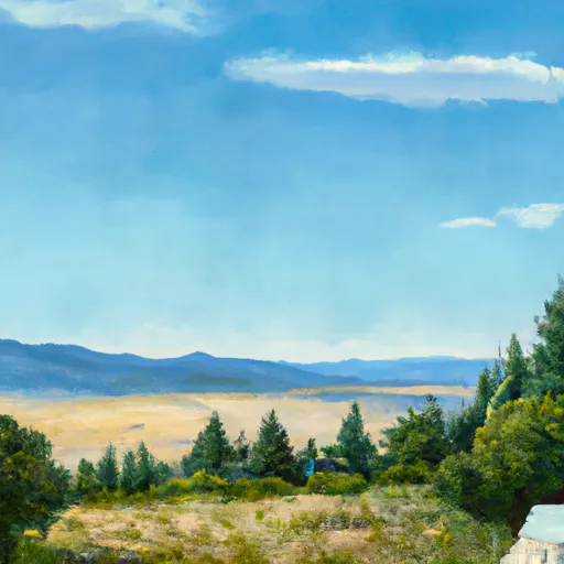 Grandjean
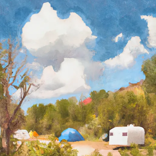 Grandjean Campground
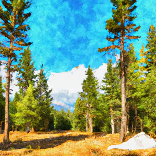 Sawtooth National Forest - Grandjean Campground
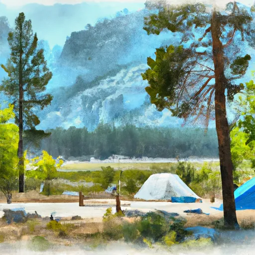 Stanley Lake Inlet Campground
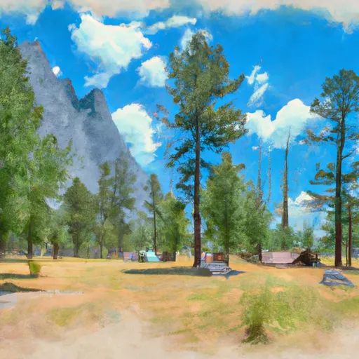 Site 12, Stanley Lk Cmpgrnd
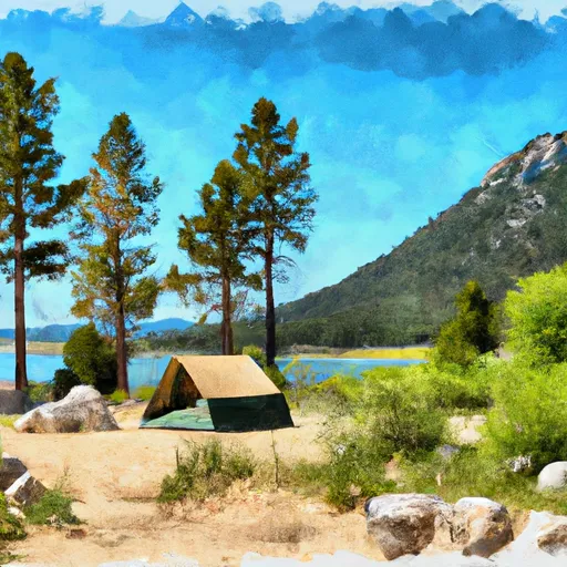 Stanley Lake