Summary
Rising to an impressive elevation, it stands as one of the notable landmarks in the area. With its towering height, Smiley Mountain provides breathtaking panoramic views of the surrounding landscape, making it a popular destination for mountaineers and outdoor enthusiasts.
During the winter seasons, Smiley Mountain experiences a diverse range of snowpack. The snow accumulation varies depending on the year, but it typically offers excellent opportunities for winter sports such as skiing and snowboarding. The snowpack on Smiley Mountain is known for its quality, attracting both recreational skiers and backcountry adventurers.
Several creeks and rivers receive runoff from Smiley Mountain, contributing to the region's water supply. These waterways provide crucial resources for wildlife and vegetation, creating an ecosystem rich in biodiversity. Exploring the creeks and rivers that flow from Smiley Mountain can offer visitors a chance to witness the beauty of nature firsthand.
The name "Smiley Mountain" has an interesting history, originating from local folklore and legends. According to one tale, the mountain was named after a local pioneer who had a cheerful and friendly disposition, hence the term "Smiley." This legend has been passed down through generations, adding a touch of charm to the mountain's name.
In conclusion, Smiley Mountain is a majestic peak in the Rocky Mountains mountain range, offering breathtaking views and diverse recreational opportunities. Its significant elevation and varying snowpack during winter make it an ideal destination for mountaineering and winter sports. Additionally, the mountain's runoff contributes to the region's water supply, supporting a thriving ecosystem. The history and legends surrounding the name of Smiley Mountain add further intrigue to its allure.
°F
°F
mph
Wind
%
Humidity
15-Day Weather Outlook
5-Day Hourly Forecast Detail
Regional Streamflow Levels
98
Cubic Feet Per Second
4
Cubic Feet Per Second
6
Cubic Feet Per Second
55
Cubic Feet Per Second
Area Campgrounds
| Location | Reservations | Toilets |
|---|---|---|
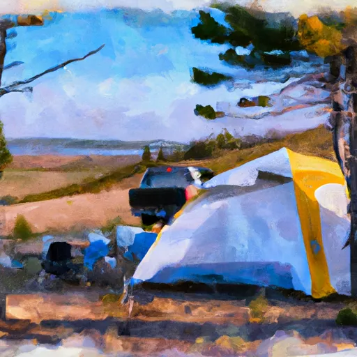 Iron Bog
|
||
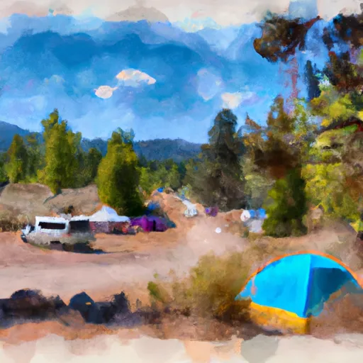 Iron Bog Campground
|
||
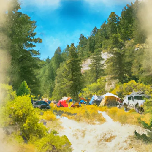 Lake Creek Trailhead & Campground
|
||
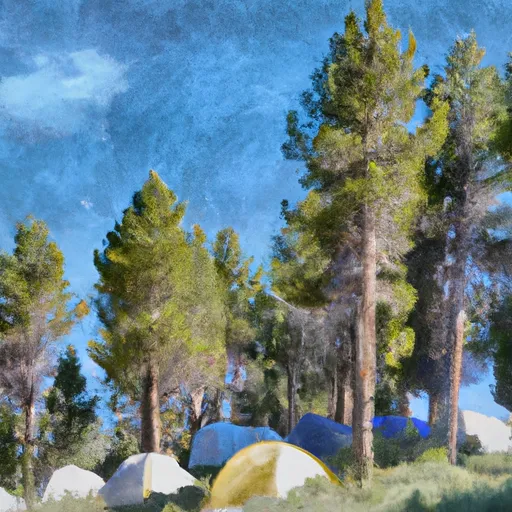 Star Hope
|
||
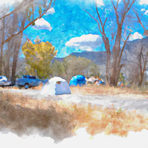 Star Hope Campground
|
||
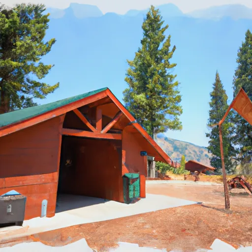 Copper Basin Guard Station Rental Cabin
|
